
Hightower (Etowah) Trial – GHM 060-114 – Fulton Co., GA
Posted by:  Lat34North
N 33° 59.470 W 084° 21.605
16S E 743848 N 3764318
Hightower (Etowah) Trial State Historical Marker located on the north side of Hightower Trail, west of Roswell Road, Sandy Springs, GA.
Waymark Code: WM2MGD
Location: Georgia, United States
Date Posted: 11/20/2007
Views: 64
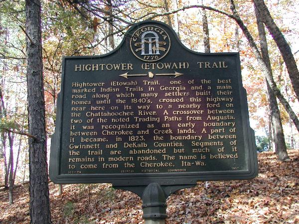 Hightower (Etowah) Trial
Hightower (Etowah) Trail, of the best marked Indian trail in Georgia, and a main road which many settlers built their homes until the 1840’s, crossed this highway near here on its way to a nearby ford on the Chattahoochee River. A crossover between two noted Trading Path from Augusta, it was recognized as an early boundary between Cherokee and Creek lands. A part of it became, in 1823, the boundary between Gwinnett and DeKalb Counties. Segments of the trail are abandoned but much of it remains in modern roads. The name is believed to come from the Cherokee, Ita-Wa.
GHM 060-114 - Georgia Historical Commission - 1967
The marker is located in a homes front yard. As always, be respectfully of others property.
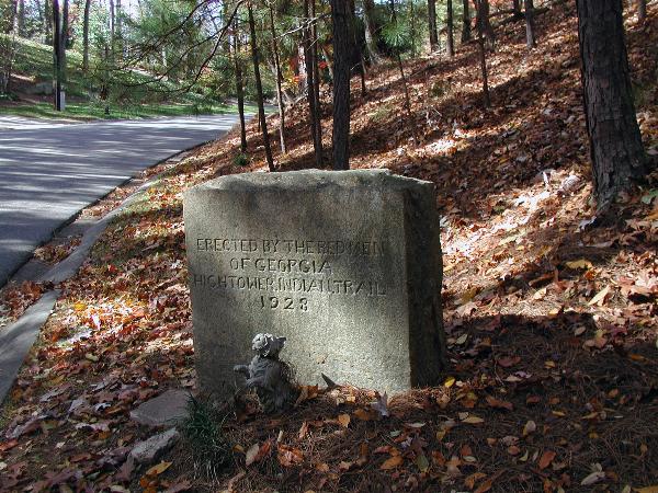
Stone Trial Marker
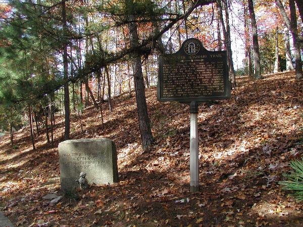
Other Georgia Historic markers on the trail.
- Hightower (Etowah) Trail State Historical Marker
GHM 044-54B westbound lanes of Stone Mountain Freeway (U.S. 78) in DeKalb County just west of the Gwinnett County line.
- Hightower Trail Historical Marker Ga. 11 C-8 Located at corner of Ga. 11 and Hightower Trail in Social Circle, Ga.
- Hightower (Etowah) Trail GHM 060-200 Ridge on Azalea Dr at Inverness Swim & Tennis Club, Roswell.