
Rock Creek and Halfmoon Trestles - Idaho
Posted by:  Volcanoguy
N 46° 19.916 W 116° 35.866
11T E 530959 N 5131007
Two railroad trestles along US Hwy 95.
Waymark Code: WMAHWG
Location: Idaho, United States
Date Posted: 01/18/2011
Views: 9
The Rock Creek trestle is across the highway from the Idaho History Marker which describes the “Railroad Tunnels” of the Camas Prrairie Railroad. Also visible in the distance with a good pair of binoculars is the Halfmoon trestle (ESE).
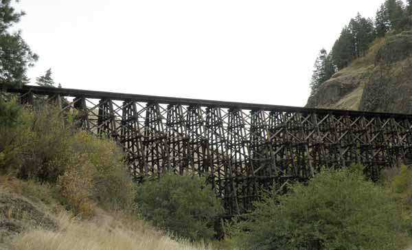
Rock Creek Trestle
The railroad came up Lapwai Creek to this area on a three percent grade crossing several wooden trestles, including this one. Two miles south of here the railroad crosses over the highway (WMAHXE) and then another 0.8 miles further crosses back across (WMAHXX). It then double back on itself by entering a 900 foot long tunnel (WMP5E) on a 14 degree horseshoe curve. Emerging from the tunnel it continues to climb the canyon wall crossing several more wooden trestles and another tunnel before crossing the curved “Halfmoon” trestle (685-foot long, 141-foot high).
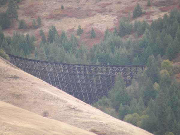
Halfmoon Trestle
Railroad info comes from: www.wwvrailway.com