State Highway Reference Marker - Laclede, ID
Posted by: Groundspeak Premium Member T0SHEA
N 48° 09.256 W 116° 49.106
11U E 513504 N 5333462
Along Highway 2 between Priest River and Laclede, this is the first of these we have discovered.
Waymark Code: WMYNJT
Location: Idaho, United States
Date Posted: 07/03/2018
Published By:Groundspeak Premium Member Ernmark
Views: 0

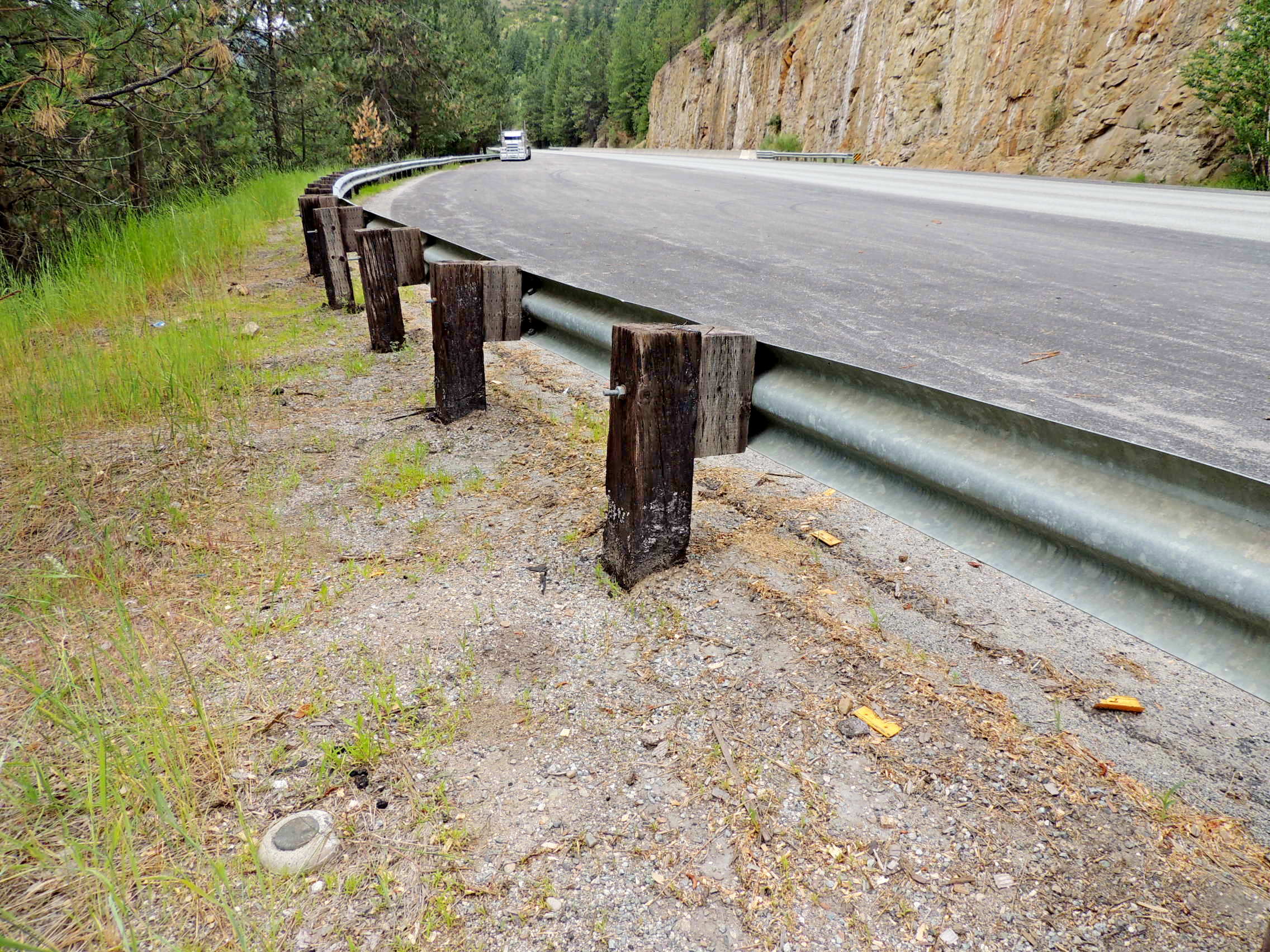
This is definitely a "Found by luck/skill/knowledge" marker. We were actually looking for a cache when we looked down and spied this marker, set in a concrete post which protruded a couple of inches above the ground. It is on the south side of the highway, about four feet south of a guard rail near the eastern edge of a large pullout often used by truckers.

The marks on the disk read:
State Highway Dept
RPPCS 28 44 6?6x00 34
Reference Marker
Condition: Mark found in good condition

Designation: State Highway Department Reference Marker - RPPCS 28 - 44 - 6?6x00 - 34

Benchmark Agency: Idaho State Highway (ID)

Monumentation type: REFERENCE MARK Disk

County: Bonner

USGS 7.5' Topographic Quadrangle Name (optional): Laclede

Find type: Found by luck/skill/knowledge

Benchmark Agency (if other): Not listed

Monumentation type (if other): Not listed

Special category (optional): Not listed

Special Category (if other): Not listed

Web address of this benchmark's datasheet (optional): Not listed

NGS PID: Not listed

Local database's URL (optional): Not listed

Visit Instructions:
  1. A closeup photo of the mark taken by you is required.
  2. A 'distant' photo including the mark in the view is highly recommended. Include the compass direction you faced when you took the picture.
Search for...
Geocaching.com Google Map
Google Maps
MapQuest
Bing Maps
Nearest Waymarks
Nearest U.S. Benchmarks
Nearest Geocaches
Create a scavenger hunt using this waymark as the center point
Recent Visits/Logs:
There are no logs for this waymark yet.