|
 Kettle River Recreation Area - Rock Creek, BC Posted by:  T0SHEA T0SHEA
N 49° 06.721 W 118° 59.676
11U E 354441 N 5441823
Six and a half kilometres up Highway 33 from Rock Creek, the Kettle River Recreation Area nearly met its maker in 2015.
Waymark Code: WMRH9E
Location: British Columbia, Canada
Date Posted: 06/21/2016
Views: 2
2015 was a bad forest fire year and one was nearly the demise of this park. The fire started several kliks south and burned as far as, and even past the park. It burned into the park and was stopped right at the buildings and campsites, barely sparing the park.
In 2016 the campground is open from May 2 to October 16. It has 114 campsites, with 85 of them reservable. There are both individual and group campsites, as well as a large day use area. There are pit toilets in the campground and restrooms, showers and a kiddies' playground at the day use area. This is where one will find the host's campsite, as well.
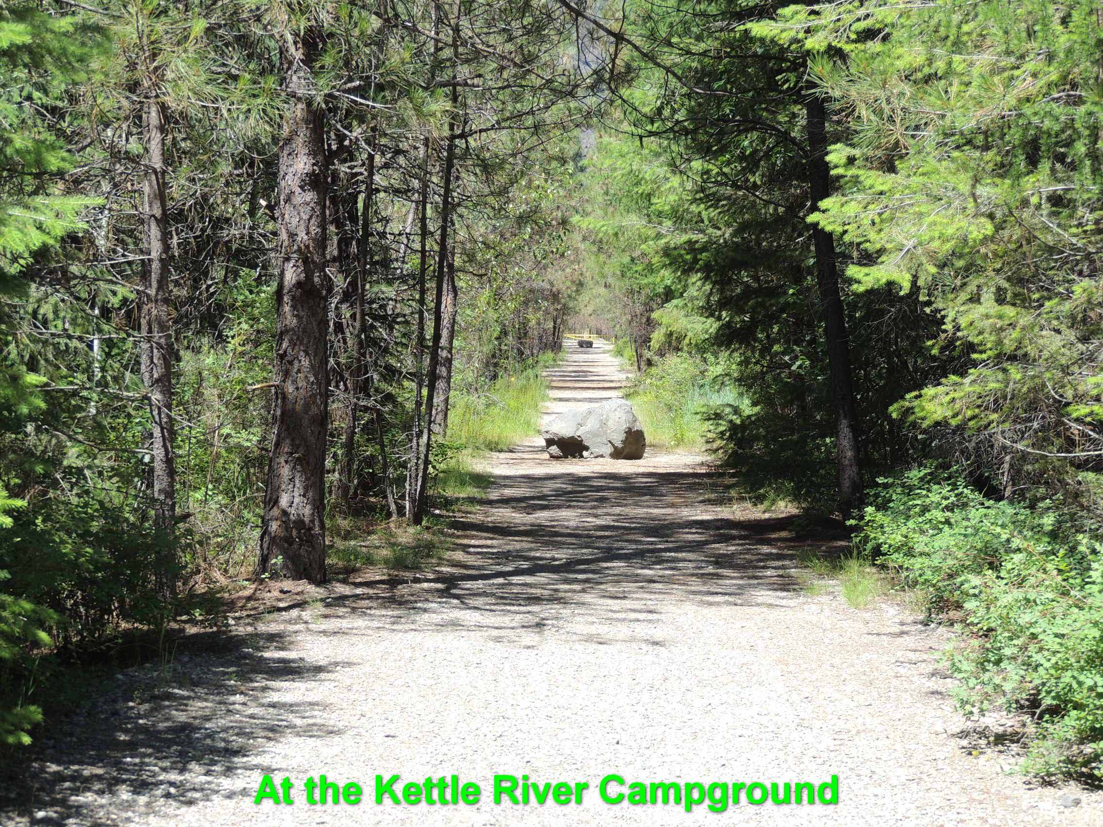
The park straddles the Kettle Valley Rail Trail, which is part of the Trans Canada Trail. The park extends east just past the Kettle River, an excellent fishing, canoeing and tubing river.
About This Park
Stands of Ponderosa pine interspersed with open areas of bunchgrass characterize this recreation area that lies astride the Kettle River between the Okanagan Plateau and the Monashee Mountains. The abandoned right-of-way of the historic Kettle Valley section of the Canadian Pacific Railway, completed in 1916 to link the Pacific coast with southern Alberta, passes through the site. On the east bank of the river is evidence of the once flourishing gold and silver mines.
In the summer, excellent canoeing or inner tube riding although there are some hazards on the river. In the winter, cross-country skiing and snowshoeing are favourite pastimes.
Established Date: July 6, 1972
Park Size: 179 hectares
From BC Parks
Park Type: Day Use, Overnight

Activities:
Canoeing, Tubing, Cycling, Fishing, Hiking, Swimming, Cross-country skiing, Snowshoeing
Park Fees:
Vehicle Accessible Camping Fee: $30.00 per party/night
Background:
History: One of Canada’s most historic and scenic railway routes runs through this park. The Kettle Valley Railway opened in 1916 and discontinued service in 1973 and the track was removed between the towns of Midway and Penticton in 1980. This track now makes an excellent trail. On the east bank of the river is evidence of the once flourishing gold and silver mines.
Cultural Heritage: There is evidence of First Nations use of the area. Some ancestors have been repatriated into the park and there are archaeological restrictions on development.
Conservation: The park protects two red listed plant communities: old growth cottonwood and dry Ponderosa pine bunchgrass. The area is an important winter range for deer and there is also a high incidence of cavity nesting birds throughout the park.
From BC Parks
Date Established?: July 6, 1972
Link to Park: [Web Link]
Additional Entrance Points: Not Listed
|
Visit Instructions:
To log a visit to a waymark in this category, please include the following ...
1. A picture you took at the park.
2. Your favorite activity at the park.
3. How do you like the park.
Recent Visits/Logs:
| There are no logs for this waymark yet. |
|
|
|
|