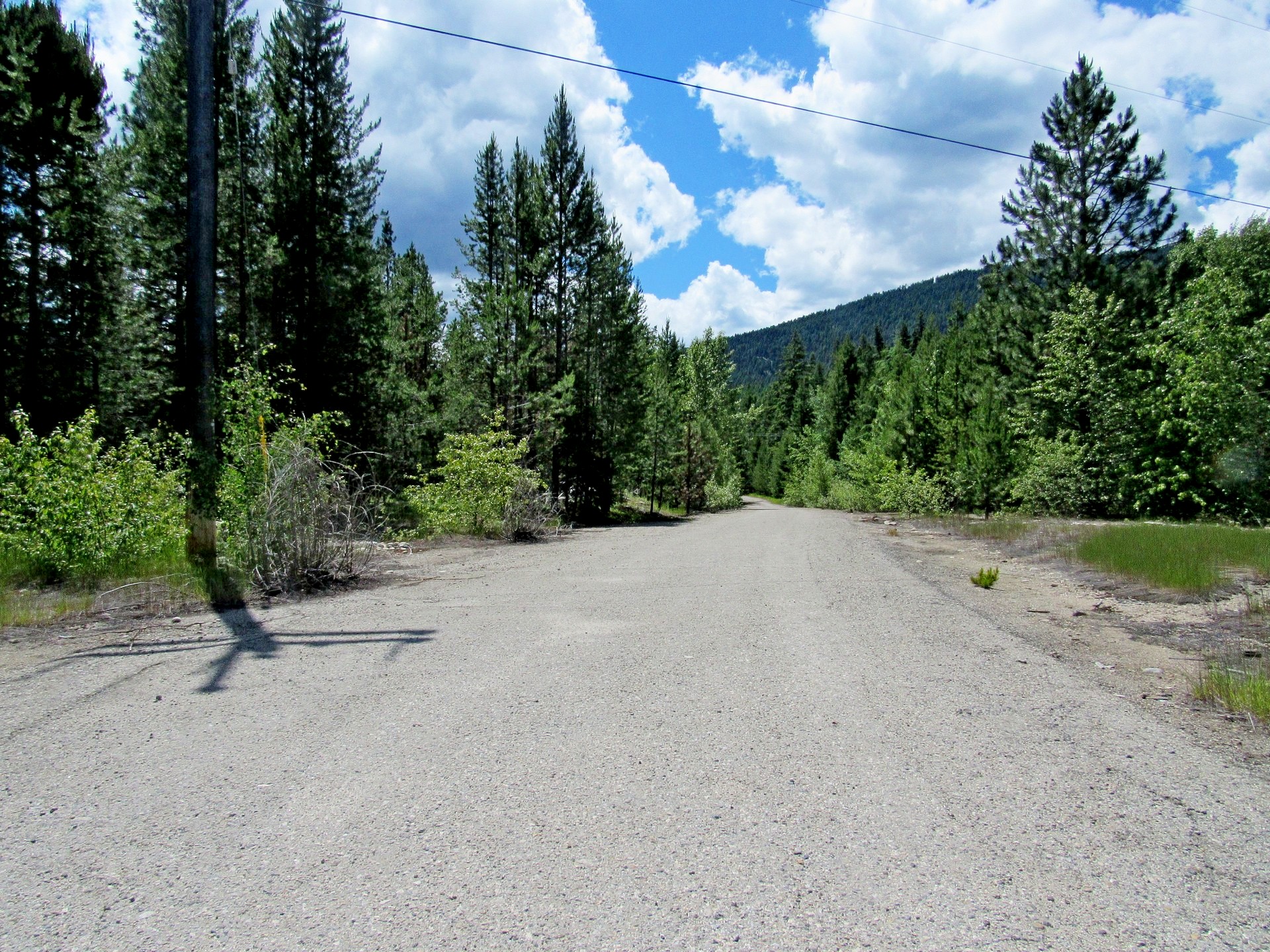
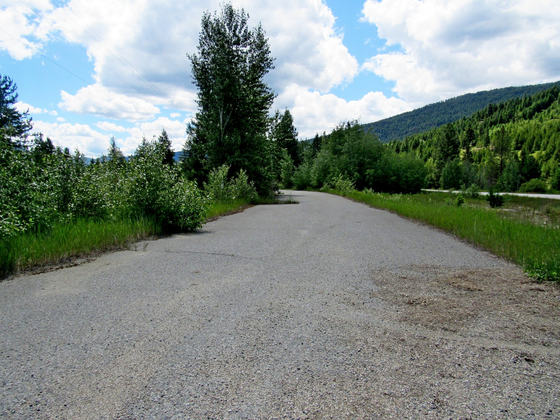
 To find this access point turn west off Highway 33 at Beaverdell Station Road at the south end of the little village of Beaverdell. Follow the road over the bridge and around the bend to the left and the KVRT sign will appear on your right.
Kettle Valley Rail Trail
This historic rail trail running from Brookmere to Midway is one of the most impressive sections of the Trans Canada Trail. Built on the route of the Kettle Valley Railway which opened in 1915 to transport silver ore to the coast, this trail showcases the genius of early railway pioneers who built countless trestles and tunnels to cross the two mountain ranges. One of the most popular and spectacular stretches is near Kelowna through Myra Canyon which has been designated a national historic site. The 12-km section offers fabulous views of the Canyon from 18 trestles that span the gorge on this cliff-hanging trail.
From the Trans Canada Trail
Built in the early twentieth century, the Kettle Valley Railway (KVR), was a subsidiary of the CPR, the intention of which was to ensure a Canadian railroad presence in the Boundary Country and the South Okanagan. This section of the railroad, known as the Carmi Subdivision, was constructed beginning in 1910.
Declining use caused the elimination of passenger service on the KVR in 1964. Eight years later this, the Carmi Subdivision, was shut down, with the tracks being torn up sometime later. By 1989 the entire Kettle Valley Railway was abandoned and the tracks removed. In the 1990s work was begun on the construction of the
Kettle Valley Rail Trail (KVRT), which encompasses essentially the entire KVR railbed, from Midway, BC to Hope.
Major sections of the KVRT have since been incorporated into the
Trans Canada Trail, including the entire Carmi Subdivision. Abundant parking is available here as this is a very rural area.
The KVRT is about 400 kilometres in length with numerous access points.
While in the spring, summer and fall the trail is given over to walking/hiking, cycling and horseback riding, in the winter it becomes a combination cross country ski and snowmobile trail.
The official start, or “Mile 0” of the KVRT is in Midway, BC, while the "end" is at Hope, BC, where it connects with the Silverhope Creek Trail. This trail connects to further trails which continue west to the Pacific. At Midway the trail connects to the
Columbia and Western Rail Trail which is also part of the Trans Canada Trail. The Columbia and Western Rail Trail ends at Midway where the KVRT begins. Though the KVRT runs through mountain country for the entirety of its journey, this being a Rail Trail, there are no grades steeper than 2 to 3 percent.
The entire length of the main section of the KVRT is also the Trans Canada Trail (TCT), currently just over 18,000 kilometres long. It is hoped that, by 2017, the 25th anniversary of the TCT, the trail will be complete, stretching 24,000 kilometres in total.
 |
 |
The Trans Canada Trail
Initiated in 1992 as a project to celebrate Canada’s 125th year, the Trans Canada Trail is one of the world's longest networks of multi-use recreational trails. Once fully connected, it will stretch nearly 24,000 kilometres from the Atlantic to the Pacific to the Arctic oceans, through every province and territory, linking Canadians in nearly 1,000 communities.
The Trans Canada Trail is made up of nearly 500 individual trails, each with unique and varied features. This contributes to the diversity and grandeur of Canada’s national Trail. For day trips or multi-day adventures, the Trail offers countless opportunities to explore and discover.
To date, just over 18,000 kilometres of the Trail are operational which is 80 percent of the proposed route. Four out of five Canadians live within 30 minutes of the Trail.
The Trans Canada Trail is a community-based project. Trail sections are owned, operated and maintained by local organizations, provincial authorities, national agencies and municipalities across Canada. The Trans Canada Trail does not own or operate any trail.
The Trans Canada Trail is represented by provincial and territorial organizations that are responsible for championing the cause of the Trail in their region. These provincial and territorial partners together with local trail-building organizations are an integral part of the Trans Canada Trail and are the "driving force" behind its development.
Our goal is to connect the Trail as a continuous route from coast to coast to coast by 2017, the 25th anniversary of the Trail and Canada’s 150th anniversary of Confederation. With just over 5,700 kilometres of Trail to go—many in unpopulated areas with difficult terrain—this is a bold and ambitious goal. With the dedication and support of all Canadians, we can collectively make it happen.
From the Trans Canada Trail