Kerschkernkogel - Seckauer Tauern, Austria
Posted by: Groundspeak Premium Member Rikitan
N 47° 23.266 E 014° 36.800
33T E 470816 N 5248329
Kerschkernkogel (2227m / 7470ft ASL) is one of the major peaks on nice smooth ridge of the Seckauer Tauern, which are part of the Niedere Tauern. Peak is not visited often because there are no alpine huts around.
Waymark Code: WMMM8T
Location: Steiermark, Austria
Date Posted: 10/07/2014
Published By:Groundspeak Premium Member RakeInTheCache
Views: 5


Kerschkernkogel (2227m / 7470ft ASL) is one of the major peaks on nice smooth ridge of the Seckauer Tauern, which are part of the Niedere Tauern. It rises on the border between the districts of Mur and Leoben. Small christian cross with wooden ornamental signs and summit register metal box can be found on the top.
Access:
One of the marked trails up to Seckauer Alpen main ridge leads from Wald am Schoberpaß or Unterwald in the Liesing ditch, the former farmstead Postl in the Ripplewood ditch, 
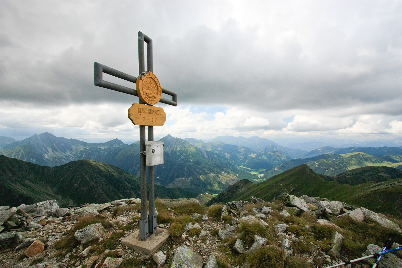
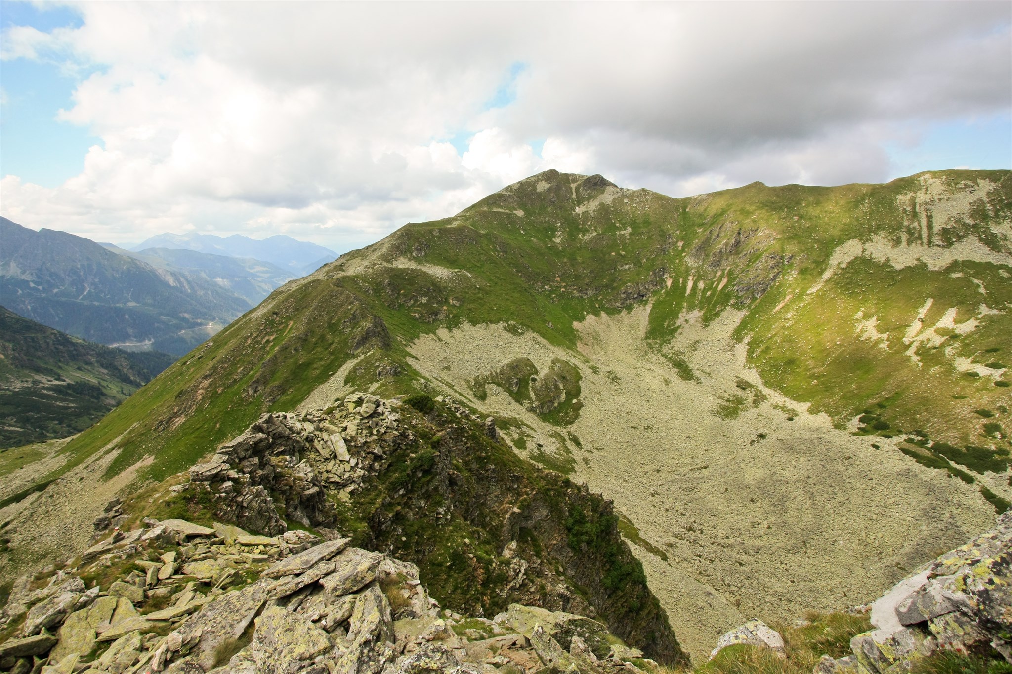
steeply to the Hocheggriedel, then Grieskogel, Geierhaupt and further to Kerschkernkogel. It is long route, sure-footedness is required. Walking time from the Liesing trench is about 5 hours.

From the oposite western side, marked path leads from Gasthof Beisteiner to Bärensulsattel, continues to Lattenberg, Goldkogel and Kerschkernkogel. This route can take about 4 hours to climb.

And finally, there are some not marked trails, that lead from Ingeringsee lake on the Saurücken or from Hintertriebental over the Schaunitztörl and require good sense for orientation and good knowledge of the terrain.


My Flickr album with more pictures: Seckauer Tauern by Rikitan
Sources: de.wikipedia.org, own visits and pictures at the site
Altitude in Feet: 7470

Visit Instructions:
To post a visit log for waymarks in this category, you must have personally visited the waymark location. When logging your visit, please provide a note describing your visit experience, along with any additional information about the waymark or the surrounding area that you think others may find interesting.

We especially encourage you to include any pictures that you took during your visit to the waymark.

Search for...
Geocaching.com Google Map
Google Maps
MapQuest
Bing Maps
Nearest Waymarks
Nearest Mountain Summits
Nearest Geocaches
Create a scavenger hunt using this waymark as the center point
Recent Visits/Logs:
There are no logs for this waymark yet.