Ostrá (transl. Sharp, 1263m ASL) is notable rocky peak in western-most parts of Greater Fatra mountains.
Limestone rocks are towering steeply above upper line of forest.
Peak is accessible by marked hiking trails from Blatnicka and Gaderska valleys.
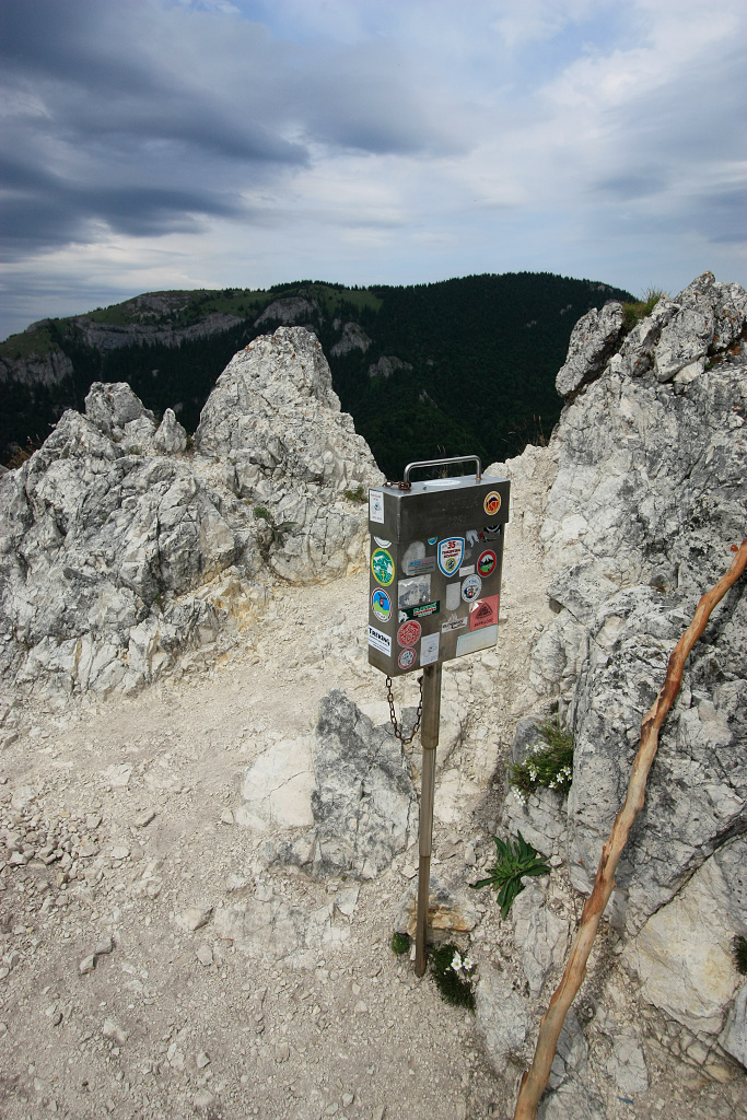
Ostra has 2 summits, on the top of the western one stands typical metal box on small post.
You can use slovak
online hiking map to plan your trip here.
Visit instructions
Two pictures will be ideal - you, standing by the summit cross, surrounded by mountains behind you.
And photo of your signage in the book. Thank you and enjoy your hike!
Ostrá (1263m) je jednym z najvyraznejsich velkofatranskych vrcholov. Clenite vrcholove skaliska ostro kontrastuju s vedlajsim oblym vrcholom Tlstej.
Ostra ma dva vrcholy, z ktorych je len ten zapadny pristupny po
turistickej znacenej trase, zaistenej niekolkymi kovovymi retazami.
Zo sedla medzi vrcholmi sa da zostupit do ustia Gaderskej a Blatnickej doliny.
Okruh cez Tlstu a Ostru je jednym z najvyhladavanejsich turistickych cielov v celom Turci.
Vrcholova kniha sa nachadza v kovovej schranke na stlpiku.