
Competing Attractions - OC&E Woods Line State Trail - Klamath Falls, OR
N 42° 10.421 W 121° 37.166
10T E 614024 N 4669982
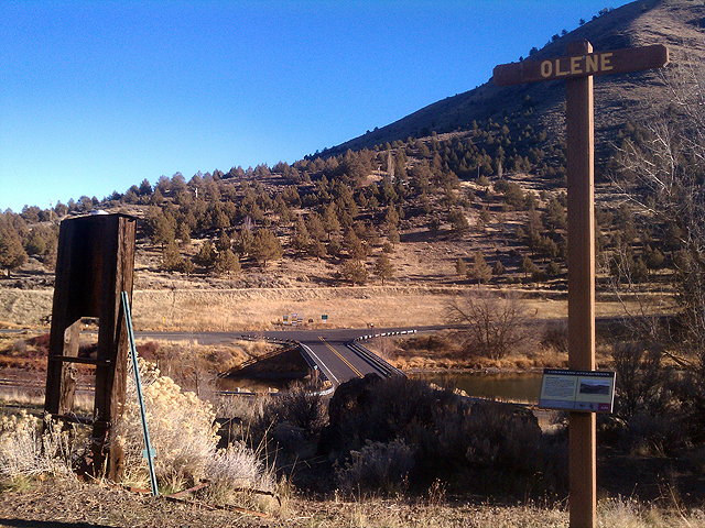
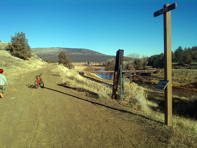
This sign of history is located along the OC&E Woods Line State Trail in an area called 'Olene Gap' and just east of Klamath Falls, OR.
Waymark Code: WMJVBW
Location: Oregon, United States
Date Posted: 01/02/2014
Views: 3
 Welcome to the OC&E Woods Line State Trail!
A short distance from the trailhead to the OC&E Woods Line State Trail, Oregon's longest state park, is a sign of history that highlights the significance of this area known as Olene Gap and reads:
AT OLENE GAP
At this narrow point where Lost River flows westerly toward Tule Lake, there is a conjunction of historical events. "Olene" in the Klamath (native American) language means "eddy place." For hundreds, perhaps thousands of years, this site was an important fishery for the Klamath and Modoc tribes. Here the Indians harvested and preserved the Lost Rive Sucker fish (Deltistes luxatus).
At Olene Gap the right-of-way of the OC&E hugs the higher north bank. Below it and south across the river are part of the canal and flume system of the Klamath Reclamation Project. The water in the ditches comes from Gerber Reservoir, an artificial lake created in 1926 on the highlands east of Langell Valley. Between the highway, that cuts through Olene Gap, and the OC&E are several geothermal vents. On cold days steam rises from these hot springs.
This rails-to-trails state trail contains many of these signs of history along interesting trail segments so be sure to be on the lookout for them, they offer insight on 'what used to be back in the day'.
Coincidentally, I have also waymarked the Lost River Diversion Dam that is portrayed on the sign and can be visited here.
Visit Instructions:
Include your thoughts and observations pertaining to this location and your visit. Provide any additional history that you are aware of that pertains to this location. If the marker commemorates a historic building tell us what it is used for now or share with us the circumstances of an earlier visit to bring this locations history to life.
Please upload a favorite photograph you took of the waymark. Although visiting this waymark in person is the only thing required of you to receive credit for your visit, taking the time to add this information is greatly appreciated.
Be creative.