
Lower Lighthouse - Fleetwood, UK
Posted by:  silverquill
N 53° 55.711 W 003° 00.541
30U E 499407 N 5975568
Dating from 1840, this is one of two lighthouses guiding boats into Fleetwood, once the largest fishing port on Britain's west coast.
Waymark Code: WMJR6T
Location: North West England, United Kingdom
Date Posted: 12/22/2013
Views: 3
A stroll along the Promenade will always take one to this unique building, now listed as a historic building. A modern radar and weather station stands next to it, but since 1840 it was the beacon of light to fishermen.
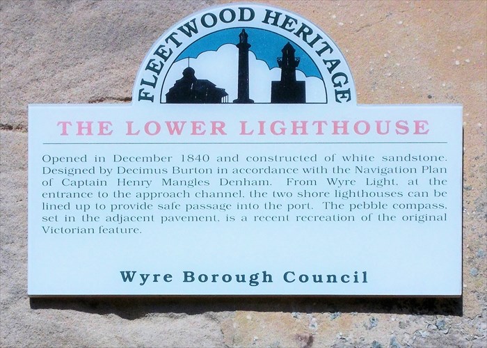
THE LOWER LIGHTHOUSE
Opened in December 1840 and constructed of white sandstone. Designed by Decimus Burton in accordance with the Navigation Plan of Captain Henry Mangles Denham. From Wyre Light, at the entrance to the approach channel, the two shore lighthouses can be lined up to provide safe passage into the port. The pebble compass, set in the adjacent pavement, is a recent recreation of the original Victorian feature.
Wyre Borough Council
The Wikipedia has the following information in an article under its alternative name, Beach Lighthouse:
The Beach Lighthouse (also known as the Lower Light) is a 44-foot (13 m) tall sandstone lighthouse situated in Fleetwood, Lancashire, England. The lighthouse was designed in 1839 by Decimus Burton and Capt H.M. Denham. Burton had been commissioned three years previously by Sir Peter Hesketh Fleetwood as the architect of the new town of Fleetwood. Unusual for a lighthouse, it is in neoclassical style with a square colonnaded base, square tower, and octagonal lantern and gallery.
The Lower Light stands on Fleetwood sea front and was built with its counterpart—the Upper Light, or Pharos Lighthouse—to provide a navigational guide to shipping entering the Wyre estuary. Together the lights provide a leading line when the Pharos Light is directly above that of the Lower Light. In turn they point to the Wyre Light on the North Wharf Bank, 2 nautical miles (3.7 km) offshore.
Both lighthouses were first illuminated 1 December 1840. Together they provide a range of about 12 nautical miles (22 km).
On April 26, 1950, it was listed as Grade II Building Number 1362180 by Britsh Heritage with the following description:
"Opened in 1840 (Preston Chronicle and Railway Magazine) and almost certainly designed by Decimus Burton. Cost £1,000. Ashlar. Red sandstone. 3 stages. Lower stage has a Tuscan order on a 2-step podium, forming a portico in antis on south side. Balustrade with vase-shaped balusters, dies, and moulded rail. Middle stage has 1 blind round-arched door with plain raised frames on each side, each with oculus over. Balcony with cast-iron railings, on plain deep brackets. Top stage octagonal. Moulded cornice. Octagonal dome with tiny octagonal drum at apex.