Castlegar's location at the confluence of the Columbia and Kootenay Rivers is what caused its beginning. The Canadian Pacific Railroad had extended its line from Nelson, to the east, to Robson, across the Columbia from Castlegar in the late 1800s. At the same time another railroad, the Columbia & Western arrived in what is now Castlegar from the south at Trail, BC.
By then paddlewheelers were running up and down the Columbia from Revelstoke, 140 km. to the north, to Castlegar. Still before the Twentieth Century, the Columbia & Western was pushed westward to Midway, there joining which was to become the Kettle Valley Railroad, which, completed in 1910, completed the route from the interior to the coast, meeting the CPR's main line at Hope, BC. This made Castlegar an important transshipment location for many years to come.
In 1902 a railroad bridge was completed across the Columbia at Castlegar, joining the two railroads which were, by then, both owned by the CPR. A railroad station was built on the Castlegar side of the river, and Castlegar was off and running.
The paddle wheelers continued to run until the late 1930s, at which time they became obsoleted by rail and road connections.
In 1908 the area surrounding Castlegar was settled by more that 5,000 Doukhobors emigrating from Saskatchewan. Today the area retains a strong Doukhobor influence. The majority of the smaller communities around Castlegar were initially Doukhobor settlements.
More Castlegar history can be found
here and
here.
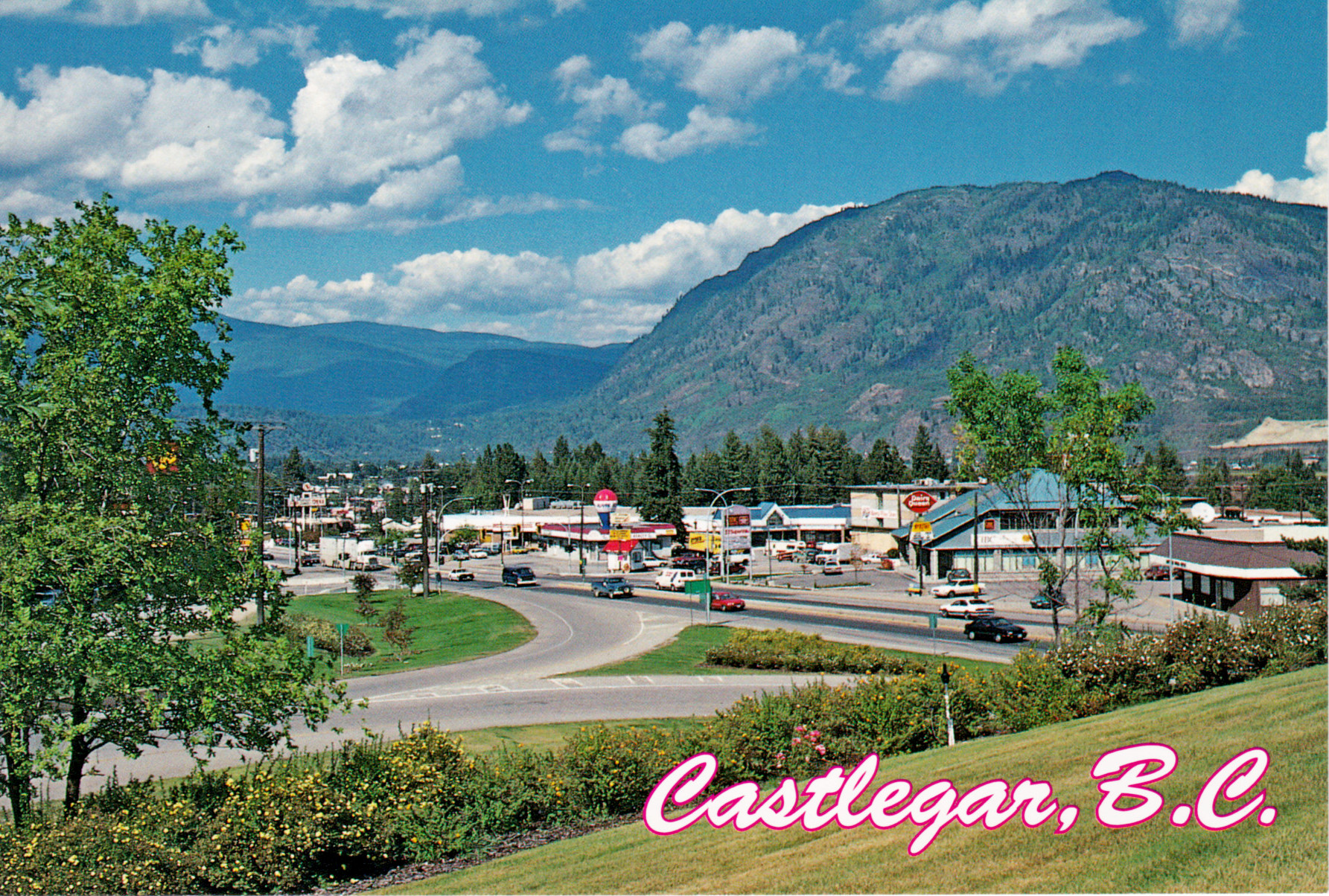
The Postcard
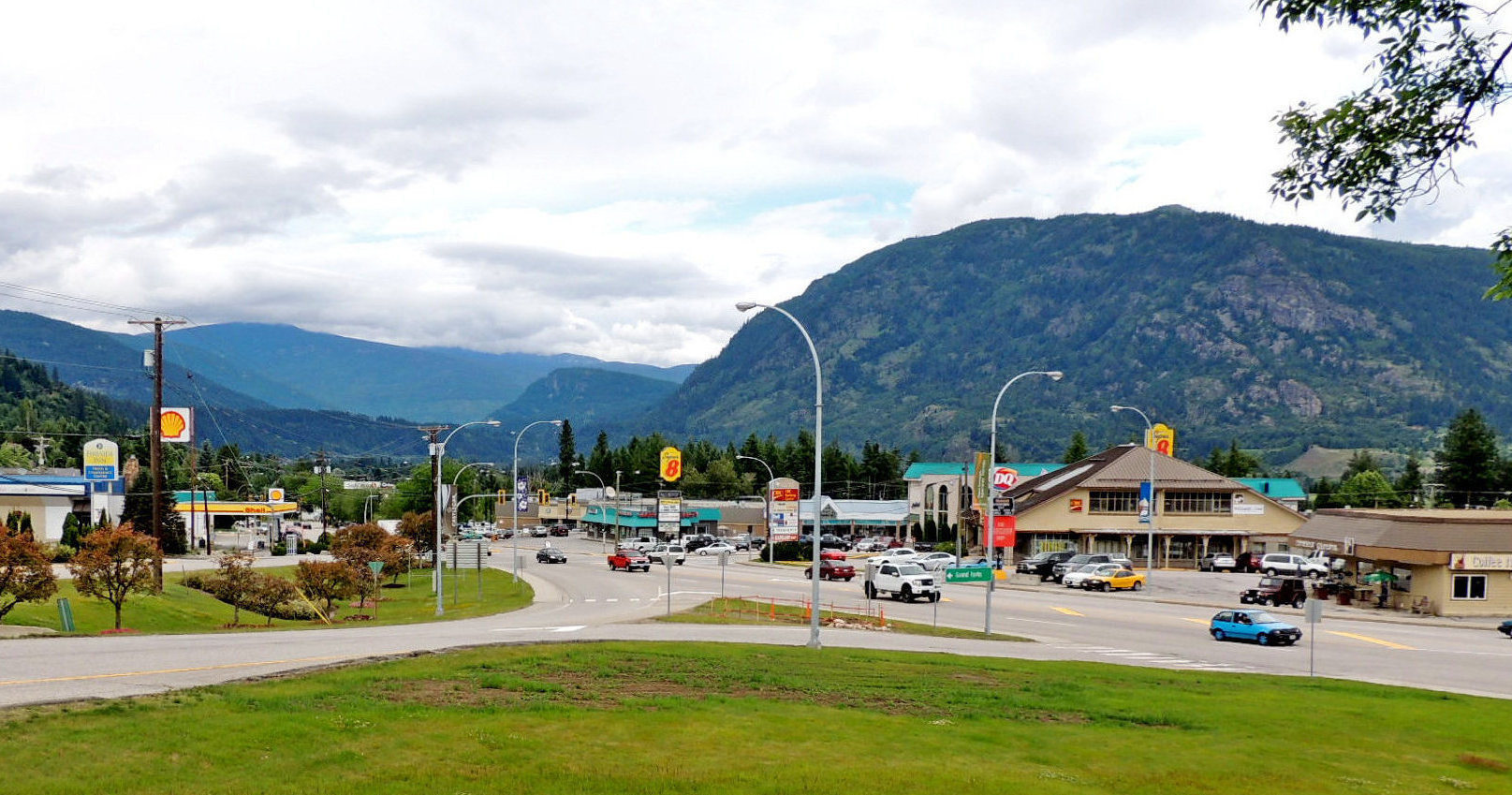
The Photograph