
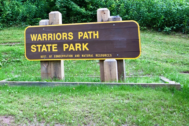
Warriors Path State Park - Saxton, Pennsylvania
N 40° 11.566 W 078° 14.931
17T E 734190 N 4452782
Warriors Path State Park is a Pennsylvania state park on 349 acres in Liberty Township, Bedford County, Pennsylvania
Waymark Code: WMFJWX
Location: Pennsylvania, United States
Date Posted: 10/27/2012
Views: 3
Warriors Path State Park - Saxton, Pennsylvania
Information excerpted from Warriors Path State Park Website website as well as the Warriors Path State Park related Wikipedia Page
The 349-acre Warriors Path State Park lies very near the famous path used by the Iroquois in raids and wars with the Cherokees and other American Indians in southern Pennsylvania.
The park is a seasonal day use area open from mid-April through the end of October. At other times of the year, visitors must park near the main gate and walk into the park.
This finger of land is bounded on three sides by the Raystown Branch of the Juniata River, which empties into Raystown Lake approximately one mile downstream. The unique shape of the park was formed as a result of river meandering. This section of the river exhibits some of the best examples of natural stream meandering in the state.
Park Type: Seasonal Day-Use

Activities:
Hiking, Picnicking, Boating, Fishing, Hunting
Background:
Nature
Date Established?: 1965
Link to Park: [Web Link]
Park Fees: Not listed
Additional Entrance Points: Not Listed
|
Visit Instructions:
To log a visit to a waymark in this category, please include the following ...
1. A picture you took at the park.
2. Your favorite activity at the park.
3. How do you like the park.
Recent Visits/Logs:
| There are no logs for this waymark yet. |
|
|
|