|
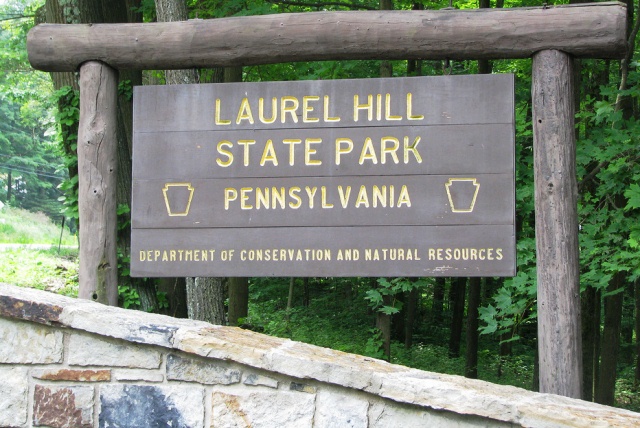
 Laurel Hill State Park - Somerset County, Pennsylvania
N 40° 00.538 W 079° 13.114
17T E 652047 N 4430272
Laurel Hill State Park spans Middlecreek and Jefferson Townships in Somerset County in Pennsylvania's Laurel Highlands Region
Waymark Code: WMFJVV
Location: Pennsylvania, United States
Date Posted: 10/27/2012
Views: 2
Laurel Hill State Park - Somerset County, Pennsylvania
Information excerpted from the park's website
The Laurel Hill Valley escaped the unbridled logging that swept through Pennsylvania—for longer than many areas of the state. The steep stream valleys and rugged hills made logging difficult until technology laid the tracks to enable the trees to be hauled to mills. Powerful, slow locomotives climbed the switchbacked tracks through Laurel Hill and hauled the logs to mills. From 1886 to 1940, logging companies clearcut the trees of the park, leaving behind a wasteland of brambles prone to forest fires and flooding. Only the area now called Hemlock Trail Natural Area escaped the loggers’ reach.
Beginning in 1935, the Federal Emergency Relief Administration began purchasing sub-marginal agricultural and forest land so that it could be converted to better use. In 1936, the National Park Service was given the responsibility of the Recreational Demonstration Areas. Laurel Hill was one of five areas in Pennsylvania and targeted for restoration and reforestation, and organized group camping and day picnicking.
Beginning in 1935, with cooperation of the Pennsylvania Department of Forests and Waters, men of the Works Progress Administration (WPA) and the Civilian Conservation Corps (CCC) began building roads, trails, bridges and recreational facilities.
Two CCC camps, SP-8 and SP-15 arrived in July 1, 1935 and began building camps for themselves (currently Group Camp 8 and Group Camp 5). The 200 young men in each camp worked year-round building park facilities like group camps, picnic areas, waterlines, roads, the beach house and Laurel Hill Lake. World War II ended the CCC.
In October of 1945, the Department of the Interior transferred the project to the Commonwealth of Pennsylvania and it became Laurel Hill State Park.
The Laurel Hill Recreational Demonstration Area Historic District includes all CCC-constructed buildings and structures that retain a significant degree of integrity. The district contains 202 buildings on 1,352 acres of land, which is the largest collection of CCC architecture in Pennsylvania State Parks.
Park Type: Day-Use and Overnight

Activities:
Hiking, Picnicking, Swimming, Boating,Fishing, Hunting, Gift shop, Snowshoeing,Sledding, Snowmobiling,Ice Fishing,Organized Group Cabin Camps, Organized Group Tenting, Laurel Hill Lodge, Camping Cottages, Camping
Background:
Logging and CCC
Date Established?: October 16, 1945
Link to Park: [Web Link]
Additional Entrance Points: N 39° 59.287 W 079° 14.639
Park Fees: Not listed
|
Visit Instructions:
To log a visit to a waymark in this category, please include the following ...
1. A picture you took at the park.
2. Your favorite activity at the park.
3. How do you like the park.
Recent Visits/Logs:
| There are no logs for this waymark yet. |
|
|
|
|