|
In San Francisco, 19th Avenue is the main N-S through road. Running parallel to 19th, about 4 blocks to the east is a hillside ridge. In places, this hillside is too steep for car traffic, so stairways are available to pedestrians to make the climb through the neighborhoods.
One block north of the Quintara Stairway and one block south of Ortega Way is another stairway that starts where Pacheco Street ends for car traffic at 15th Avenue. This stairway is named Mandalay Lane. This straight concrete stairway climbs 165 steps up to 14th Avenue. There is a metal hand railing on one side. Near the middle of the climb, the stairs pass through an shaded overgrowth of trees. At the top, is a view over the sunset district and the Pacific Ocean. From here it is a short walk to Golden Gate Heights Park.
Posted coordinates are at the bottom of the stairway. The coordinates of the stairway top are N37 45.045 W122 28.264. The elevation gain is about 50 feet. |
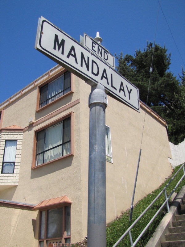 Mandalay Lane Sign
|