
OHP - Niagara - Thorold - "St. Johns"
N 43° 04.737 W 079° 16.746
17T E 640089 N 4771019
Documenting the rise and fall of this community, and the impact of the Welland Canal on growth.
Waymark Code: WMCFW
Location: Ontario, Canada
Date Posted: 05/13/2006
Views: 26
St. Johns is home to my favourite Conservation Area however there is not very much information on the Internet that I could find due to the community having a name that is often used in religious buildings. St. Johns is none the less, best seen first hand.
Read more at Niagara Peninsula Conservation Authority

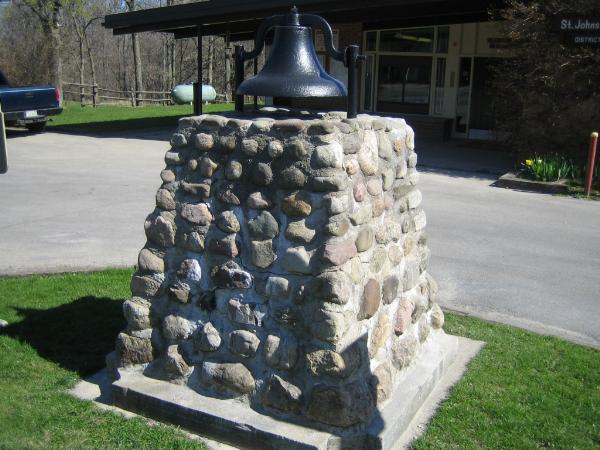
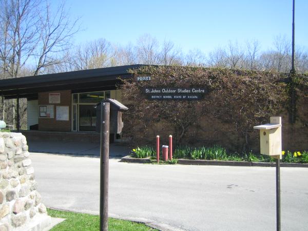
Location of Plaque: This plaque is out front of the St. John's educational center

Hope you enjoy the Visit
 The Blue Quasar
Physical location of plaque: Other location

Description of any physical remains at site of "Historical Plaque": The community itself
Address or location of plaque: Not listed
"Ontario Plaques" Website for this "Plaque": Not listed
A web-site for more details.: Not listed
This 'Plaque' describes: Not listed
Condition of sign: Not listed
Is this a bilingual sign?: Not listed
What is the second/third language?: Not listed
|
Visit Instructions:
A "Visited" only remark, will be deleted.
No Waymark owner "Visits" allowed when setting up the Waymark.
Subsequent visits, at another time with photo are acceptable.
NOTE: All photos must include the 'O.H.P.Plaque' at its location to qualify for a "Visited"