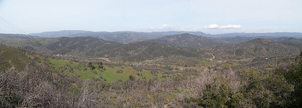
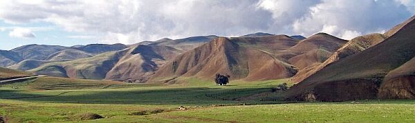
The Diablo Range is a mountain range in Central California, located between San Joaquin Valley and Santa Clara Valley, running from Mount Diablo in the northwest to Mount Hamilton in the southeast. Coordinates for this waymark as well as the pictures were taken at Mount Hamilton, with an elevation of 4,360 ft the second highest mountain in the range.
Like many other "devilish" locations in California, this one is a simple error in translation. The spiritual world of the local Miwok, Yokut, Wintun, and Maidu people revolved around earth spirits and sky spirits. Spanish missionaries - the first Europeans in the area - simply translated those as angels and devils. In the creation myths of the local nations, all the mountains and canyons were made by earth spirits which explains the unusual high number of Devil- and Diablo- names in Central California.
This National Park Service map shows the Diablo Range and Mount Hamilton.
Currently, groundspeak experiences some problems with html encoded waymarks.
If anything at this page doesn't look right, just close and open again. (Usually, the problem fixes itself after reloading a couple of times.)
|