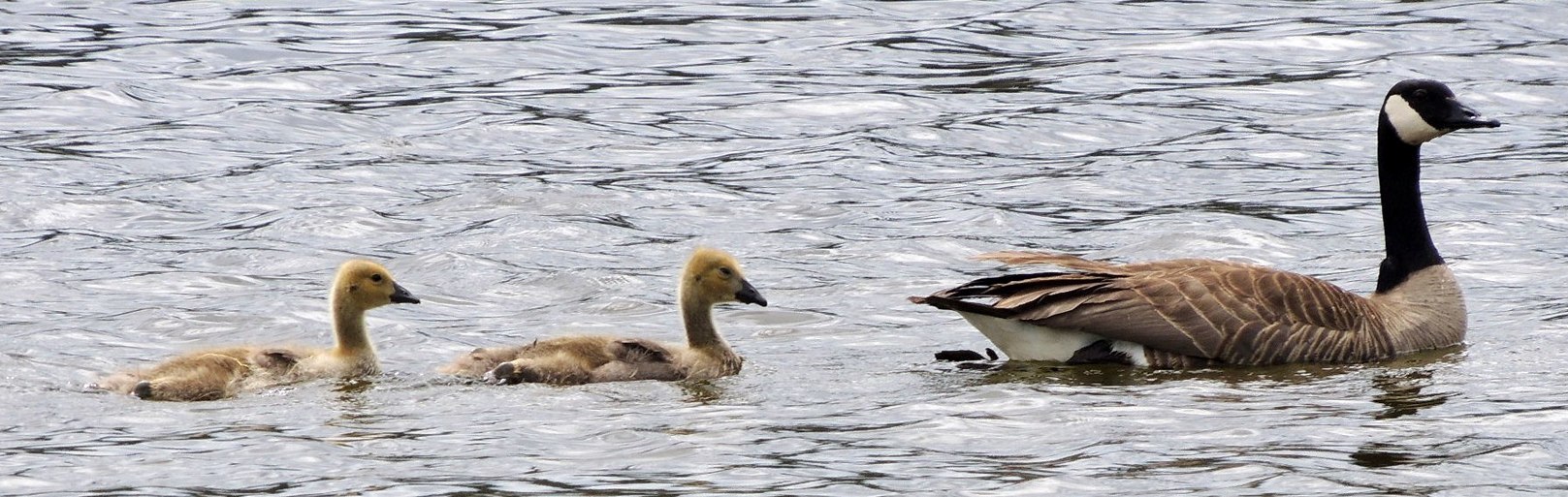
100 MILE MARSH is situated along a major waterfowl migration flyway. The sanctuary provides rest and food for migrating Trumpeter Swan and Herring Gull during spring and fall flights. Canada Geese nest here, as well as several DIVING and DABBLING ducks. Each summer most adult ducks and geese MOLT - lose their flight and body feathers. For 6 weeks they are flightless until new "flight" (tail & wing) feathers replace the old. Preening ducks are a common sight at a marsh. Oil "uropygial" glands in the rump are important in waterproofing ducks. The duck passes its bill over its rump to squeese out oil and wipes it over the feathers. Songbirds are abundant at the marsh. Watch for colourful Red Winged and Yellow-headed Blackbirds. Watch too for the myriad of insects and aquatic vertebrates, essential to marsh life as food for the many birds.
20 acres in size, with 0.8 miles of shoreline, 100 Mile House Marsh was developed by
Ducks Unlimited Canada in 1983 with the co-operation of the Second Century Fund of British Columbia and the Community of 100 Mile House to encourage greater public appreciation of our waterfowl heritage.
100 Mile House Marsh is a great place to view waterfowl, migrating geese, Trumpeter swans and an array of songbirds. There is a 1 mile trail around the marsh that is wheelchair accessible.
A bronze plaque with the following text is mounted at the viewing area behind the visitor's centre.
ECOLOGICAL RESERVE
DEDICATED TO THE PEOPLE
OF BRITISH COLUMBIA
BY
THE NATIONAL 2nd CENTURY
FUND OF BRITISH COLUMBIA
The National Second Century Fund of British Columbia, later to be called The Nature Trust of British Columbia, was born in 1971. It was founded to help set aside ecologically suitable natural places for future generations of British Columbians.
100 Mile Marsh is a small wetland area popular for birds and birdwatching, especially water fowl. Depending on the month, depends on the birds spotted in the marsh. The wetland marsh is located on Highway 97 in the town of 100 Mile House, British Columbia, Canada.
Circling the marsh is an interpretive walking path leading to some viewing benches and a grassy picnic area located near the highway entrance. The picnic area, just off the highway, is also the location of some historic artifacts and a First Nation teepee.
Most arrive at the marsh for the birdwatching opportunities. Both local birds and migratory birds visit the marsh. During April, May, October and November Trumpeter Swans visit the wetland marsh. Some of the other birds to watch for include Northern Flicker, Barn Swallow, Pied-billed Grebe, Yellow-headed Blackbird, Blue-winged Teal, Green-winged Teal, Ruddy Duck and Spotted Sandpiper.
From Eh Canada Travel