Blue River Bridge - 1967 - Blue River, BC
Posted by:  T0SHEA
N 52° 06.994 W 119° 18.128
11U E 342378 N 5776503
The Blue River flows past the northern edge of the town of Blue River, then flows into the North Thompson River just over 2 kilometres southeast of here.
Waymark Code: WM1182G
Location: British Columbia, Canada
Date Posted: 09/03/2019
Views: 1
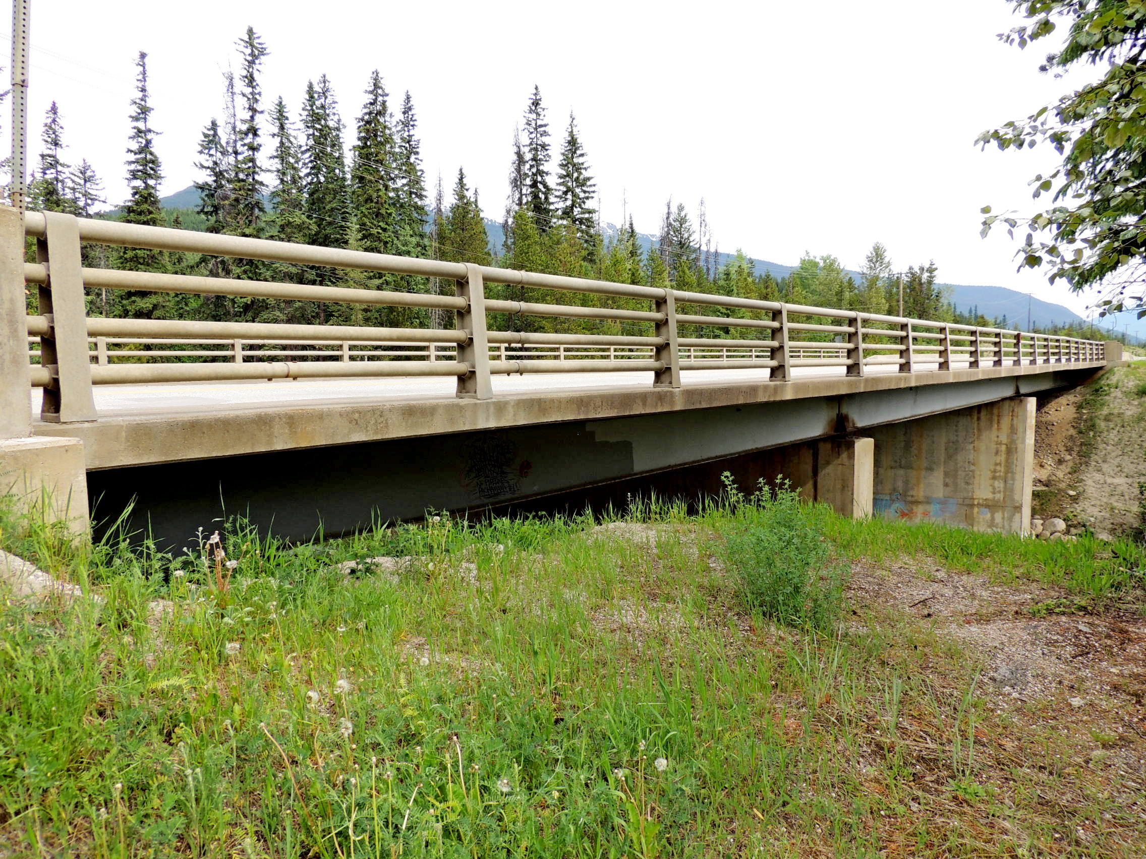
The Blue River Bridge carries the Yellowhead over the Blue River at the northern edge of the eponymous town. A very typical BC Highway Bridge, this is a steel girder bridge a bit longer than the norm at just under 200 feet. As such, the bridge rests on a pair of concrete piers in the river and concrete abutments at each end.
The year of construction, 1967, is inscribed in the bottom of the two end posts which face traffic. Between the end posts are steel railings, with a sidewalk along the bridge's east edge.
One may park at the ends of the concrete barriers past either end of the bridge or on an access road on the east side of the highway.