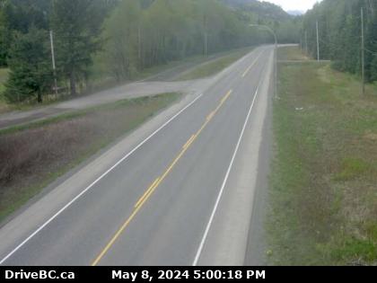
Mounted on a steel pole just off the east side of Highway 16, this camera looks northeast up the highway past the north end of Chimdemash Loop Road. Highway 16 follows the Skeena River here for a couple of hundred kilometres, the two parting ways well north at Hazelton.
Visiting
Given that it's possible to "Replay The Day" on the web cam's web page, one need only stand at the coordinates for at least two minutes to ensure that they're captured on a minimum of one frame, then find and save the appropriate image later that day. Alternatively, if one has an internet connection in their hand tuned to the URL below, they only need wait until they appear on their screen, then save that frame.
The image below is essentially real time and will update every 2 minutes, but only if you update the page manually. BC Highway webcams are owned and operated by the B.C. Ministry of Transportation and Infrastructure. They are accessible online at DriveBC.