
Geumgap Beach Map (금갑해수욕장) - Jindo, Korea
Posted by:  silverquill
N 34° 23.827 E 126° 16.591
52S E 249634 N 3809551
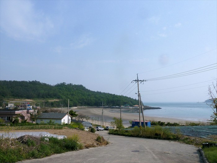
This is a small protected beach on the southern edge of the island of Jindo, Korea. Very few facilities here, and limited parking.
Waymark Code: WMEDK3
Location: Jeolla nam do, South Korea
Date Posted: 05/12/2012
Views: 2
금갑해수욕장
A drive around the island of Jindo on Route 18 is very scenic and there are a few nice beaches along the way. This beach is not as well-known as others and consequently less developed. There are a few "pensions" here, but hardly any parking at all, so access is a problem.
The beach itself has coarser sand than some, but is still nice. Like most Korean beaches, it is maintained only during the summer months of July and August, so it gives the appearance of being somewhat trashy. Still, this can be a nice stop along the way.
This guide map is at the entrance road to the beach on Route 18.