|
 No. 1494, Rozhledna Jezerní slat, CZ Posted by:  Ursus PiPa Ursus PiPa
N 49° 02.385 E 013° 34.513
33U E 395872 N 5432852
Turistická známka zobrazuje rozhledu s vyhlídkou na Jezerní slat. /// Tourist stamp shows lookout tower in Jezerní slat.
Waymark Code: WME2NR
Location: Jihočeský kraj, Czechia
Date Posted: 03/26/2012
Views: 62
Jezerní slat
-
Jezerní slat je prírodní rezervace
vrchovištního rašelinište, které leží na náhorní plošine Šumavských plání mezi
osadami Kvildou a Horskou Kvildou.
-
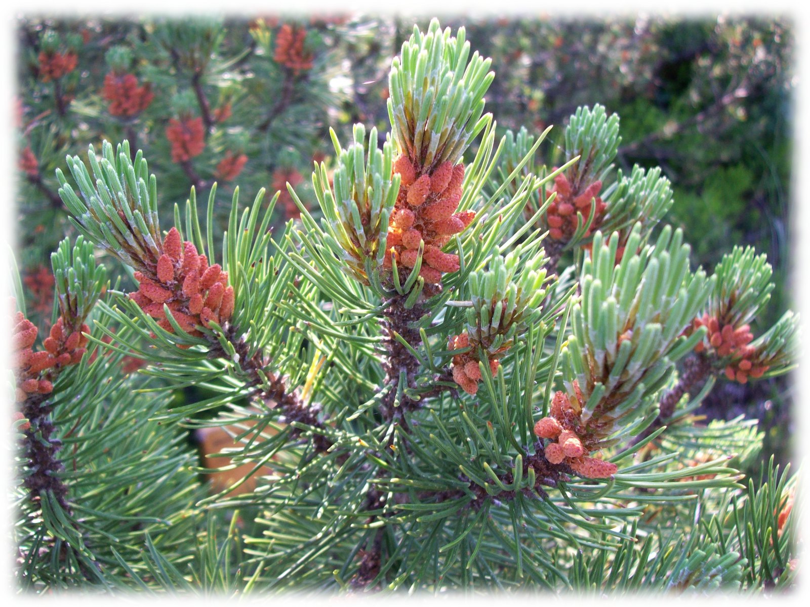
V oblasti mužeme videt radu typických
rašeliništních rostlin, klece, zakrslé brízy, borovice blatky, mrazové formy
smrku a vzácné brízy prostrední. V podrostu roste mech a rašeliník a znacné
množství boruvek a brusinky. Z bylin se tu darí vlochyni, suchopýru
pochvatému, klivce žoravine ci na sušších místech vresu.
-
Z živocichu se ve zdejších podmínkách
darí hraboši mokradnímu, myšivce horské ci hrabošíku podzemnímu.
-
Slat byla vyhlášená rezervací již v
roce 1993. její tehdejší výmera byla 34ha. Dnešní rozloha slati je 208ha (ve
spojení s I. zónou Kvildského potoka) a je tak 4. nejrozsáhlejší slatí na
Šumave.
-
Rašelinište je jedním z
nejstudenejších míst v Ceské republice. Nejnižší namerená teplota zde dosáhla
méne než -40°C.
-
Také zde se v minulosti težila
rašelina, a to až do roku 1934.
- Rašelinište je prístupné po
znaceném chodníku naucné stezky. Trasa zacíná u 10m vysoké vyhlídkové veže a
dále pokracuje po povalovém chodnícku až k vyhlídkové plošine. V
zimním období je rašelinište pro návštevníky uzavreno (zimování chránených
druhu živocichu).
Jezerní slat (Lake Moor)
- The peat bog is accessible from
the car park along the hardened track. Part of the trail is along the raised
log sidewalk. You can observe most of the location from the viewing tower
situated on the edge of the moors.
- The lake moor belongs to the
upland peat bogs spreading over the plateau of the Šumava plains, between the
Kvilda and Horská Kvilda settlements.

- The location, an area of 34
hectares, was declared a reserve in 1933. Today's reserve measures 208
hectares, after it has been joined with the I. Zone of the Kvilda stream.
- The average depth of the peat
is 2.5 m, however the deepest area, 7.6 m is in the north-west intact part.
- The Lake moor is one of the
coldest places in the country, and therefore its vegetation cover consists of
Gentiana frigida.
- The intact parts of the upland
are covered by "peaty" dwarf pine vegetation. The scrub is comprised of
calluna vulgaris, black blueberry, cranberry and crowberry.
- Throughout the open areas, you
will be able to see Tussock Cottongrass, Bog Bilberry, Bottle Sedge, Oxycoccus
palustris, Bog-rosemary and Common sundew.
- The Lake moor is rich in many
types of invertebrate species (spiders, dragonflies, butterflies...) The
vertebrate species are represented by the common adder, viviparous lizard,
common redpoll, whinchat, black grouse and others.
- The peat bog is closed to
visitors during winter; (wintering of protected fauna).
source:
NP Šumava
Where can you get this wooden stamp.: N 49° 01.133 E 013° 34.770

Opening Times:
Přes zimu nepřístupné /// inaccessible in winter
Webpage: [Web Link]
Rating: 
|
Visit Instructions:
To log a waymark in this category, you have to personally visit the waymark location and post a photo of the tourist destination taken from the waymark coordinates.
Describe your visit and what you experienced.
Abyste mohli waymark zalogovat jako navštívený, musíte osobně dojít na místo
určené souradnicemi waymarku, vyfotit odsud turistický cíl, a fotografii
nahrát k logu.
Budeme
rádi, když se s námi podělíte také o zážitky spojené s návštěvou místa.
Um den Wegeunkt zu loggen, müßen sie die Stelle (Ort) erreichen,auf welche sich die Wegpunktkoordinaten beziehen, von dort das touristische Ziel fotografieren,Bild zum Logg hochladen.
Wir werden uns freuen ,wenn Sie uns dabei Ihre Erlebnisse mitteilen .
This Category was discussed in the forums. Please raise any questions there.
S otázkami týkajícími se kategorie se můžete obrátit na diskusní fórum.
|