
Crater Rim Viewpoint - Oregon
Posted by:  Volcanoguy
N 43° 05.447 W 122° 13.292
10T E 563358 N 4771190
Viewpoint on Ore. Hwy. 230 for the rim at Crater Lake.
Waymark Code: WM7QEK
Location: Oregon, United States
Date Posted: 11/22/2009
Views: 5
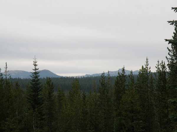
This viewpoint provides a view of Hillman Peak on the rim of Crater Lake and is located on Ore. Hwy. 230 about 5.3 miles southwest of junction with Ore. Hwy. 138. There are two interpretive signs about the eruption which formed Crater Lake.
One Violent Moment sign text: If you were standing at this spot 7,700 years ago when Mt. Mazama exploded, you would have been vaporized. A 2000° F fiery avalanche of incandescent rock fragments and gases hit this site at over 200 miles per hour. After the initial blast, a river of pumice ash traveled toward the Rogue River Valley burying everything in its path.
When the “Dust” Settled sign text: The fallout from Mount Mazam’s eruption created some of the world’s deepest deposits of pumice soil. Airfall deposits east of Diamond Lake are more than 70 feet deep. Ash-flow rivers of pumice in the Rogue River Valley are up to 300 feet deep. The pumice soil beneath your feet here at Crater Rim Viewpoint is estimated to be 100 feet deep.