New Mexico 2000 Center of Population marker
Posted by: Groundspeak Premium Member Grasshoppers&Ant
N 34° 36.192 W 106° 21.679
13S E 375176 N 3829883
New Mexico's 2000 census marker, in the Manzano Mountains State Park campground.
Waymark Code: WM1ZCR
Location: New Mexico, United States
Date Posted: 08/08/2007
Published By:Groundspeak Regular Member Black Dog Trackers
Views: 34

As the ranger said, and the census.gov coords confirmed, the actual site is a short distance away (1.75 mi, 39° true at N34° 37.381 W106° 20.526), in an open field, and on private property. The state opted to put a maker here, in their park.

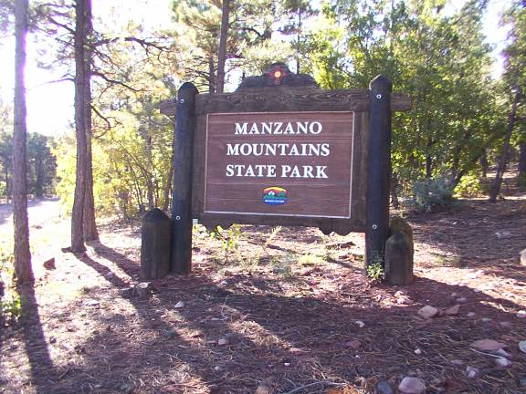
Manzano Mountains State Park is 16 miles northwest of Mountainair and is reached via a well-graded gravel road off NM–55 near Manzano. The park is closed from November through early April, and the marker is likely inaccessible.

Condition: Mark found in good condition

Designation: blank

Benchmark Agency: National Geodetic Survey

Monumentation type: Disk (unspecified type)

County: Torrance

USGS 7.5' Topographic Quadrangle Name (optional): Punta de Agua (NM)

Special category (optional): Not listed

Find type: Found by luck/skill/knowledge

Benchmark Agency (if other): Not listed

Monumentation type (if other): Not listed

Special Category (if other): Not listed

Web address of this benchmark's datasheet (optional): Not listed

NGS PID: Not listed

Local database's URL (optional): Not listed

Visit Instructions:
  1. A closeup photo of the mark taken by you is required.
  2. A 'distant' photo including the mark in the view is highly recommended. Include the compass direction you faced when you took the picture.
Search for...
Geocaching.com Google Map
Google Maps
MapQuest
Bing Maps
Nearest Waymarks
Nearest U.S. Benchmarks
Nearest Geocaches
Create a scavenger hunt using this waymark as the center point
Recent Visits/Logs:
There are no logs for this waymark yet.