|
 J 261 RESET - Spokane, WA Posted by:  T0SHEA T0SHEA
N 47° 42.326 W 117° 24.705
11T E 469110 N 5283643
In Franklin Park on the west side of North Division, the BM is just north of East Crown Avenue, at a picnic table. Just for a change of pace we'll make a benchmark the centre of this Lucky 7
Waymark Code: WMTZ5M
Location: Washington, United States
Date Posted: 01/26/2017
Views: 1
The BM is described as being the "southeast one of four such tables", which no longer seems to meet with reality. It will be found in the southeast corner of the third concrete slab from the south of the most easterly slabs, and contains a single table. In any event, with the coordinates one may walk right up to it.
STATION DESCRIPTION
DESCRIBED BY COAST AND GEODETIC SURVEY 1966
IN SPOKANE.
THE DISK IS SET IN THE SOUTHEAST CORNER OF A 7X14 FOOT CONCRETE SLAB
WHICH SUPPORTS A PICNIC TABLE AND TWO BENCHES IN FRANKLIN PARK. THIS
IS THE SOUTHEAST ONE OF FOUR SUCH TABLES. THE MARK IS ABOUT 50 YARDS
WEST NORTHWEST OF THE INTERSECTION OF CROWN AND DIVISION STREETS, 28
YARDS NORTH OF THE NORTHEAST CORNER OF A LARGE COVERED PICNIC AREA, 32 YARDS WEST OF THE SIDEWALK ALONG THE WESTERN SIDE OF DIVISION STREET, AND ABOUT 100 YARDS NORTH OF THE SOUTHEAST CORNER OF FRANKLIN PARK.
From the NGS Datasheet 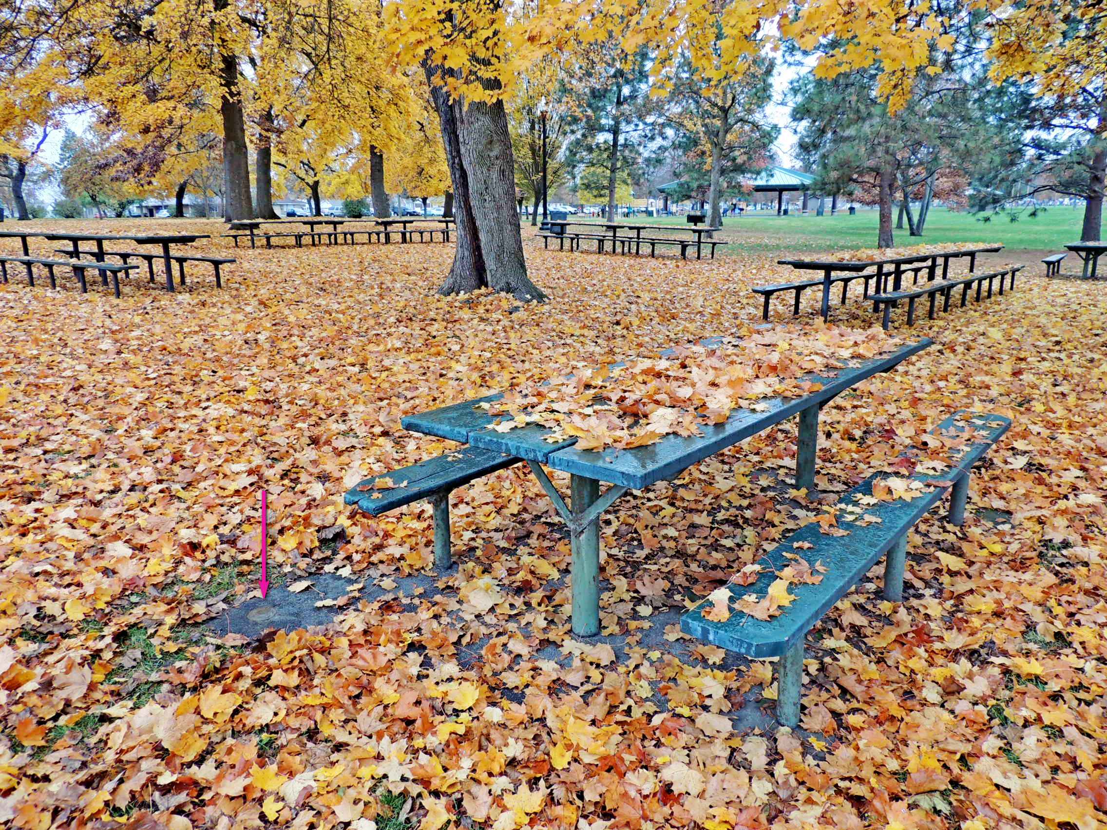 Visit Instructions:
If you choose to visit a Lucky 7, please include a picture of the target of your favorite Waymark in the grouping. Include yourself in the picture if possible.
Recent Visits/Logs:
| There are no logs for this waymark yet. |
|
|
|
|