M.46.197
Posted by: Groundspeak Premium Member stoneposse
N 35° 27.375 W 095° 29.407
15S E 274017 N 3926491
Located along Interstate 40.
Waymark Code: WMW4T
Location: Oklahoma, United States
Date Posted: 10/22/2006
Published By:Groundspeak Regular Member Black Dog Trackers
Views: 11

New Page 1

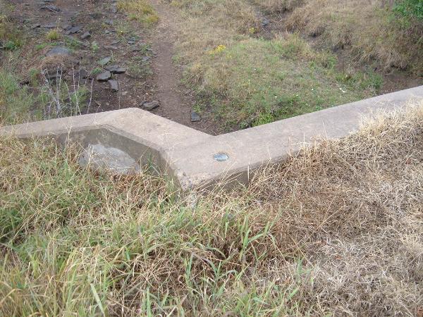
A Oklahoma Department of Highways disk located near Checotah, OK along Interstate 40 eastbound. The disk is located on the east end of a culvert. 

Post a picture of yourself at M.46.197. Be careful of Interstate traffic.


Condition: Mark found in good condition

Designation: M.46.197

Benchmark Agency: State of Oklahoma Department of Highways (OK)

Monumentation type: Disk (unspecified type)

USGS 7.5' Topographic Quadrangle Name (optional): Warner NW, OK

Special category (optional): Not listed

Find type: Found by luck/skill/knowledge

Benchmark Agency (if other): Not listed

Monumentation type (if other): Not listed

County: Not listed

Special Category (if other): Not listed

Web address of this benchmark's datasheet (optional): Not listed

NGS PID: Not listed

Local database's URL (optional): Not listed

Visit Instructions:
  1. A closeup photo of the mark taken by you is required.
  2. A 'distant' photo including the mark in the view is highly recommended. Include the compass direction you faced when you took the picture.
Search for...
Geocaching.com Google Map
Google Maps
MapQuest
Bing Maps
Nearest Waymarks
Nearest U.S. Benchmarks
Nearest Geocaches
Create a scavenger hunt using this waymark as the center point
Recent Visits/Logs:
There are no logs for this waymark yet.