
Curlew Smokey - Curlew, WA
Posted by:  T0SHEA
N 48° 52.770 W 118° 36.273
11U E 382357 N 5415301
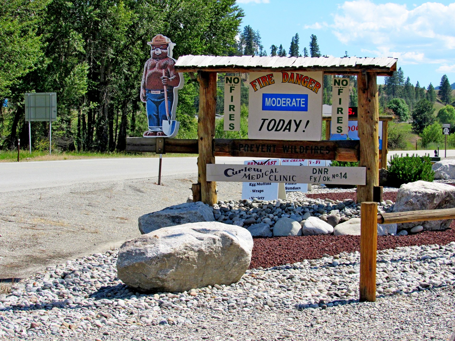
Just outside the little village of Curlew, WA we spied Smokey, standing guard as usual, shovel in hand and always on the alert.
Waymark Code: WMRP7T
Location: Washington, United States
Date Posted: 07/16/2016
Views: 3
Curlew's Smokey stands at the corner of Highway 21 and Kettle River Road, south of Curlew across the Kettle River. Being late June, the fire hazard was only moderate, even though the day was a hot one.
Behind him is a little eatery named Tugboat's. B wandered in there while waiting on K to take pix and discovered that they serve soft ice cream. Given the temperature that day, this was welcome news.
Condition of Smokey Bear: 

Forest Name: Colville National Forest
Hand Painted or Plastic on Plywood?: Plastic on Plywood
|
Visit Instructions:
You MUST take a picture of you with Smokey Bear, or of the Smokey Bear with your GPSr in the picture. NO DRIVE BY posts will be accepted. We reserve the right to deny posts that do not properly portray Smokey Bear.
Recent Visits/Logs:
| There are no logs for this waymark yet. |
|
|
|