
Devils Hill, Oregon
Posted by:  Volcanoguy
N 44° 02.900 W 121° 45.560
10T E 599388 N 4877989
Devils Hill, Deschutes County, Oregon. Glaciated dome on south flank of South Sister.
Waymark Code: WMKW
Location: Oregon, United States
Date Posted: 08/27/2005
Views: 15
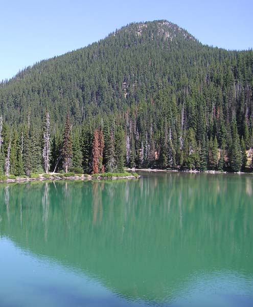
Devils Hill is a glaciated dome that rises 1600 feet above Devils Lake. Its eastern flank is cut by a sereies of 2000 year old domes which are known as the Devils Hill domes.
To log this waymark post a photo from the summit of Devils Hill or one of the four Devils Hill domes. Also provide the coordinates of the photo point.