
Cache Creek Highway Webcam - Cache Creek, BC
Posted by:  T0SHEA
N 50° 48.611 W 121° 19.397
10U E 618130 N 5630056
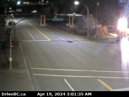
This BC Highways Webcam is in Cache Creek, where the Trans Canada Highway turns south and makes its run down the Thompson and Fraser Canyons.
Waymark Code: WMHV0E
Location: British Columbia, Canada
Date Posted: 08/13/2013
Views: 1
The webcam in mounted on the first light standard west of Collins Road, on the north side of the highway, looking east. Collins road is about six or seven hundred feet east of the Highway 1 - Highway 97 junction. From here highway 97 heads north toward Prince George and Highway 1 heads south towards Vancouver.
Not a lot to see or do in Cache Creek. You're into desert-like country here and most people, like ourselves, just fly on through. From here, if you're headed south, as we are, you'll follow the Thompson River for about 85 km. south and east a bit to Lytton, where the Thompson joins the Fraser River. From there it's down the Fraser to the coast.
This webcam updates every 2 minutes. BC Highway webcams are owned and operated by the B.C. Ministry of Transportation and Infrastructure. They are accessible online at DriveBC.
Refreshing this page every 2 minutes will refresh the image.