Fulton County Airport-Brown Field
N 33° 46.572 W 084° 31.318
16S E 729466 N 3740101
600-acre general aviation facility
Waymark Code: WM421
Location: Georgia, United States
Date Posted: 11/23/2005
Views: 90

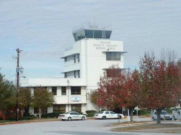
N33 46.572 W84 31.318

Fulton County Airport-Brown Field
3952 Aviation Cir. • (404) 699-4200

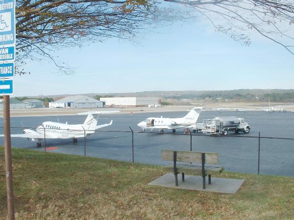
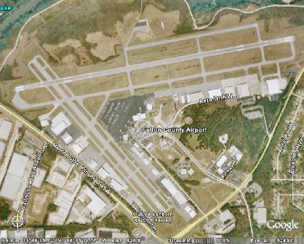
This 600-acre general aviation facility, known locally as Charlie Brown, is owned by Fulton County. It has three active runways and is used by many domestic and international corporate aircraft and also by state and federal government planes. Like DeKalb-Peachtree Airport, Brown Field is available to private aircraft and charges no landing fees. Ramp fees, if fuel is not purchased, and overnight fees apply. There is one flying school based at the airport. The tower telefrequency is 118.5. The airport's location is convenient to I-20, Martin Luther King Jr. Drive and Fulton Industrial Boulevard.

Type: Municipal

ICAO Airport Code: Not listed

IATA Airport Code: Not listed

FAA Identifier: Not listed

Visit Instructions:
You must post at least one photo with your log. You do not have to enter the airport or go through security to log a waymark, as long as you can prove in your photo that you were actually there. Next, write a little about your visit. What were your travel plans? Where are you flying to and from? ect.
Search for...
Geocaching.com Google Map
Google Maps
MapQuest
Bing Maps
Nearest Waymarks
Nearest Airports
Nearest Geocaches
Create a scavenger hunt using this waymark as the center point
Recent Visits/Logs:
Date Logged Log User Rating  
mtn-man visited Fulton County Airport-Brown Field 08/16/2006 mtn-man visited it
clevortrevor visited Fulton County Airport-Brown Field 03/31/2006 clevortrevor visited it

View all visits/logs