The KVR, then a subsidiary of the Canadian Pacific Railway (CPR), was built from Midway, Mile"0", to Hope in the years 1910 to 1915, with the first passenger train passing through Rhone on August 29, 1915. Passenger service was discontinued here January 17, 1964, but parts of the line remained in operation for many more years.
An ambitious irrigation scheme begun in 1918 by then Premier John Oliver would soon turn the southern Okanagan from a desert wasteland to a highly productive farming, market gardening and wine producing area.
The area became so productive so quickly that, in 1920, the CPR deemed it necessary to begin construction of a spur line, the
Osoyoos Subdivision, south from Penticton, eventually to reach Osoyoos at the U.S. border.
The scheme was carried out in four sections, which initially included a barge section on Skaha Lake. The first section, Penticton to Skaha, opened on November 28, 1923; the second, Skaha to Okanagan Falls, opened on October 20, 1931; the third, Okanagan Falls to Haynes opened on November 28, 1933; the final section, Haynes to Osoyoos, did not open until December 27, 1944.
This bridge then, on the Skaha to Okanagan Falls section, would most likely have been built in 1930-31. Originally 1,279 feet in length, the south end of the bridge was filled in 1963, leaving it at the present 496 feet, 10 inches. Service continued on this section of the
Osoyoos Subdivision until March of 1989. The tracks were lifted in October of 1991.
The following excerpt is from the book,
Kettle Valley Railway Mileboards
(ISBN: 0-9696971-2-0)
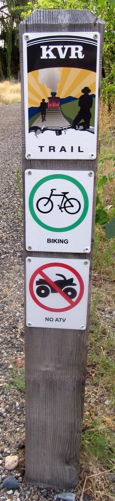
The old KVR rail bed was developed during the 1990s to become the
Kettle Valley Rail Trail, part of the longest rail trail network in British Columbia, this bridge becoming a part of said trail. It now connects to the 27,000 kilometer
Trans Canada Trail, AKA
The Great Trail, known as the planet’s longest “trail” network.
Coordinates given are at the south end of the bridge.