Water Survey of Canada Reference Marker - Valemount, BC
Posted by:  T0SHEA
N 52° 44.028 W 119° 16.034
11U E 346921 N 5845070
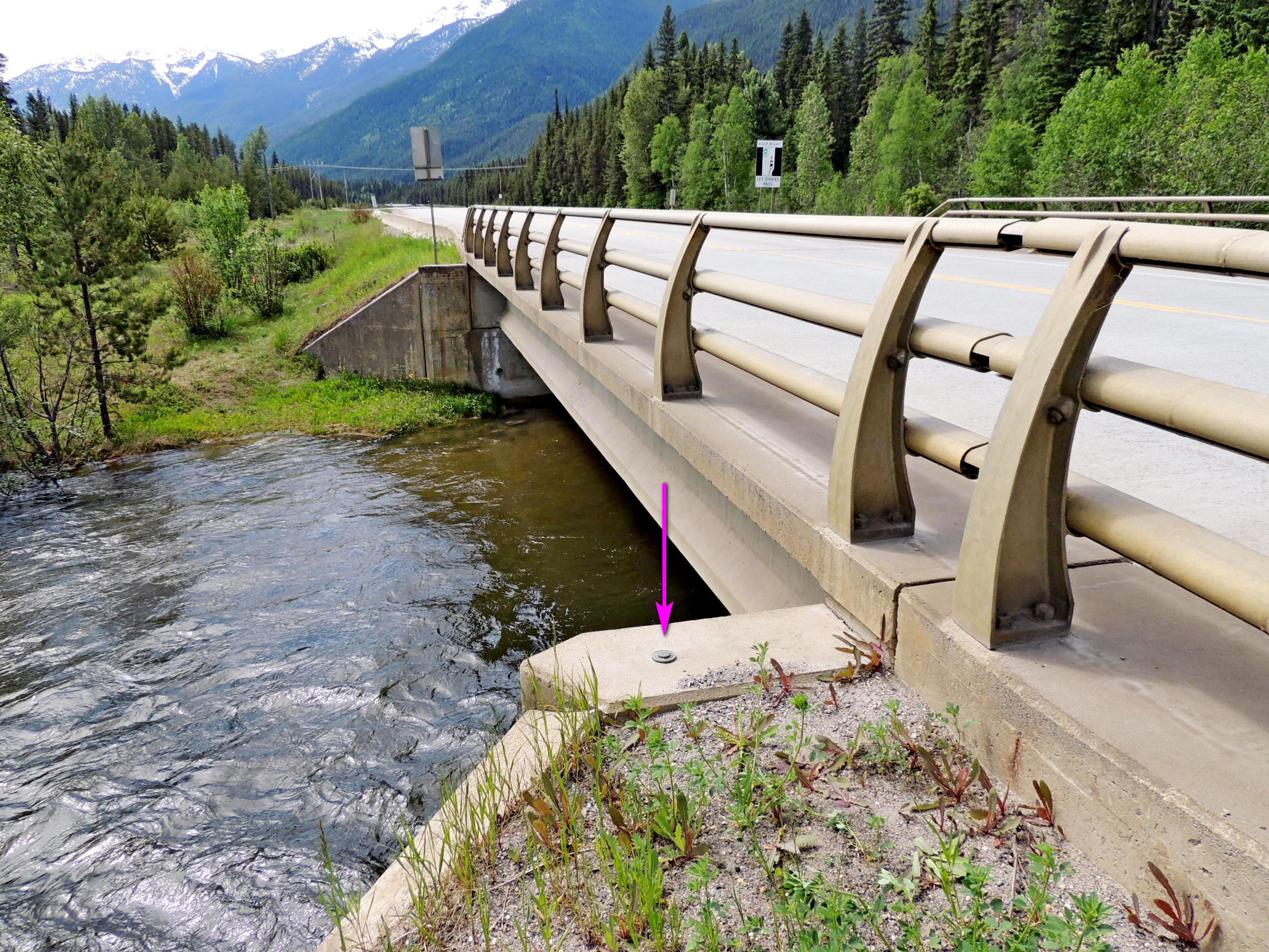
About 10 kilometres south of the town of Valemount is Camp Creek, the Camp Creek Bridge and this reference marker.
Waymark Code: WM117GC
Location: British Columbia, Canada
Date Posted: 08/31/2019
Views: 5
In the top of the concrete abutment at the northwest corner of the Camp Creek Bridge is where one will spot Benchmark 79C608. Sometimes, then benchmark hunting, it doesn't hurt to check around, especially on bridges, for other, unpublished benchmark and other markers. Across the Yellowhead Highway, on the other side of the bridge, one will find another marker, this one a
Water Survey of Canada survey marker.
Nearby one will inevitably find a river water height monitor. The brass markers are used as a precise reference for the levels recorded by the monitors. Water Survey of Canada monitoring stations each have a number; this one is 08NC005. Each station's webpage contains data on river flow of the waterway being monitored.
Like most of the streams and rivers here, Camp Creek is a salmon spawning stream, so don't fall in and sully the waters!