79C608 - Valemount, BC
Posted by:  T0SHEA
N 52° 44.028 W 119° 16.046
11U E 346907 N 5845070
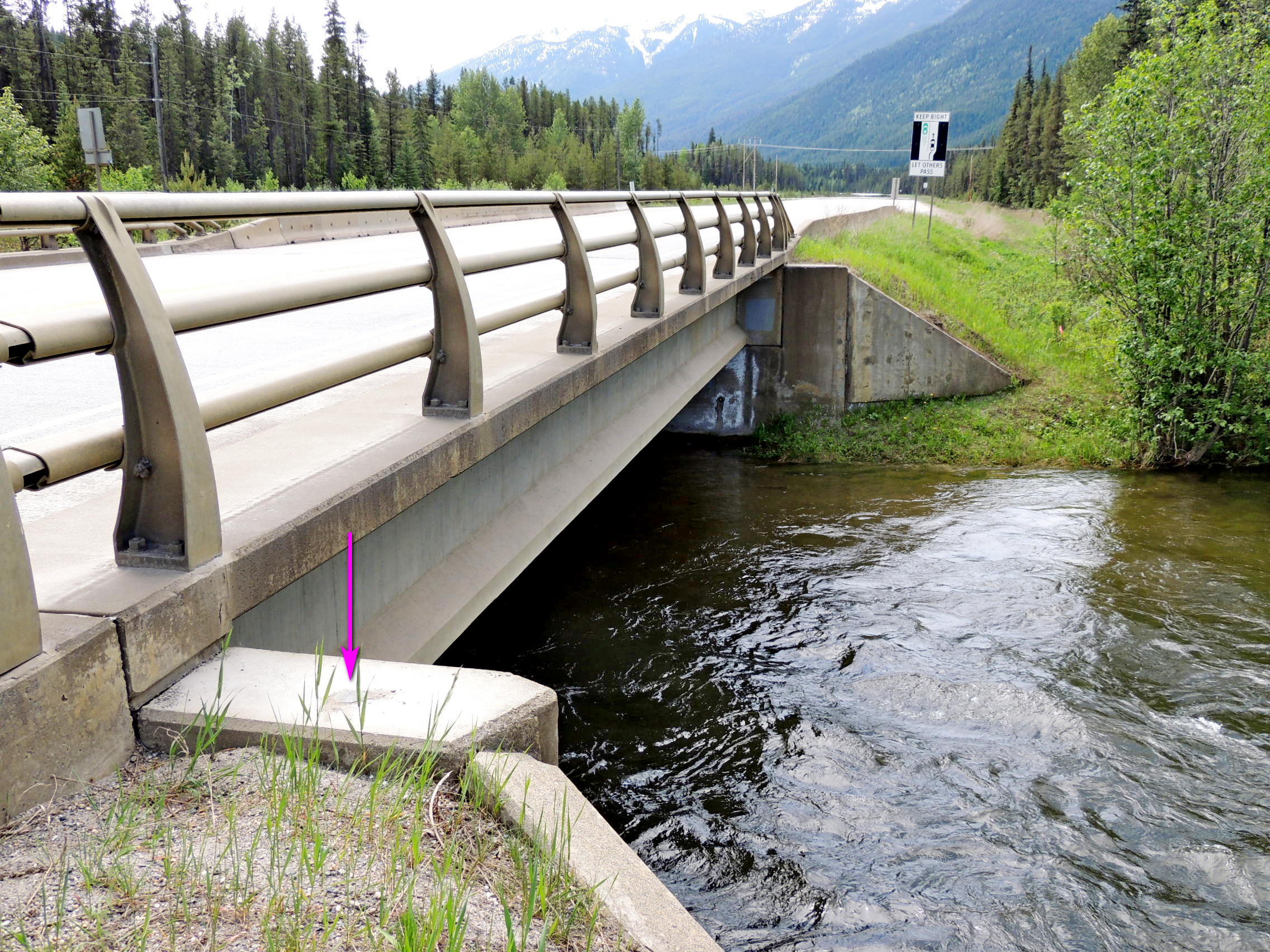
About 10 kilometres south of the town of Valemount is Camp Creek, the Camp Creek Bridge and this benchmark.
Waymark Code: WM117G1
Location: British Columbia, Canada
Date Posted: 08/31/2019
Views: 2
In the top of the concrete abutment at the northwest corner of the Camp Creek Bridge is where one will spot 79C608. Across the Yellowhead Highway, on the other side of the bridge, one will find another marker, this one a
Water Survey of Canada survey marker. Like most of the streams and rivers here, Camp Creek is a salmon spawning creek, so don't fall in and sully the waters!
Name	Province NTS map sheet	Unique Number
79C608	Alberta  083D11		79C608
Valemount
Bridge over camp creek along highway no. 5, 13.3 km north of albreda siding access road, 11.4 km south of main intersection to town, 270 m north of a highway rest area, tablet in top of west abutment at north end of bridge.
From NRCAN