79C727 - Little Fort, BC
Posted by:  T0SHEA
N 51° 25.653 W 120° 12.104
10U E 694525 N 5701087
79C727 is on one of the dozens of bridges along Highway, the Southern Yellowhead Highway.
Waymark Code: WM10W2D
Location: British Columbia, Canada
Date Posted: 06/29/2019
Views: 1
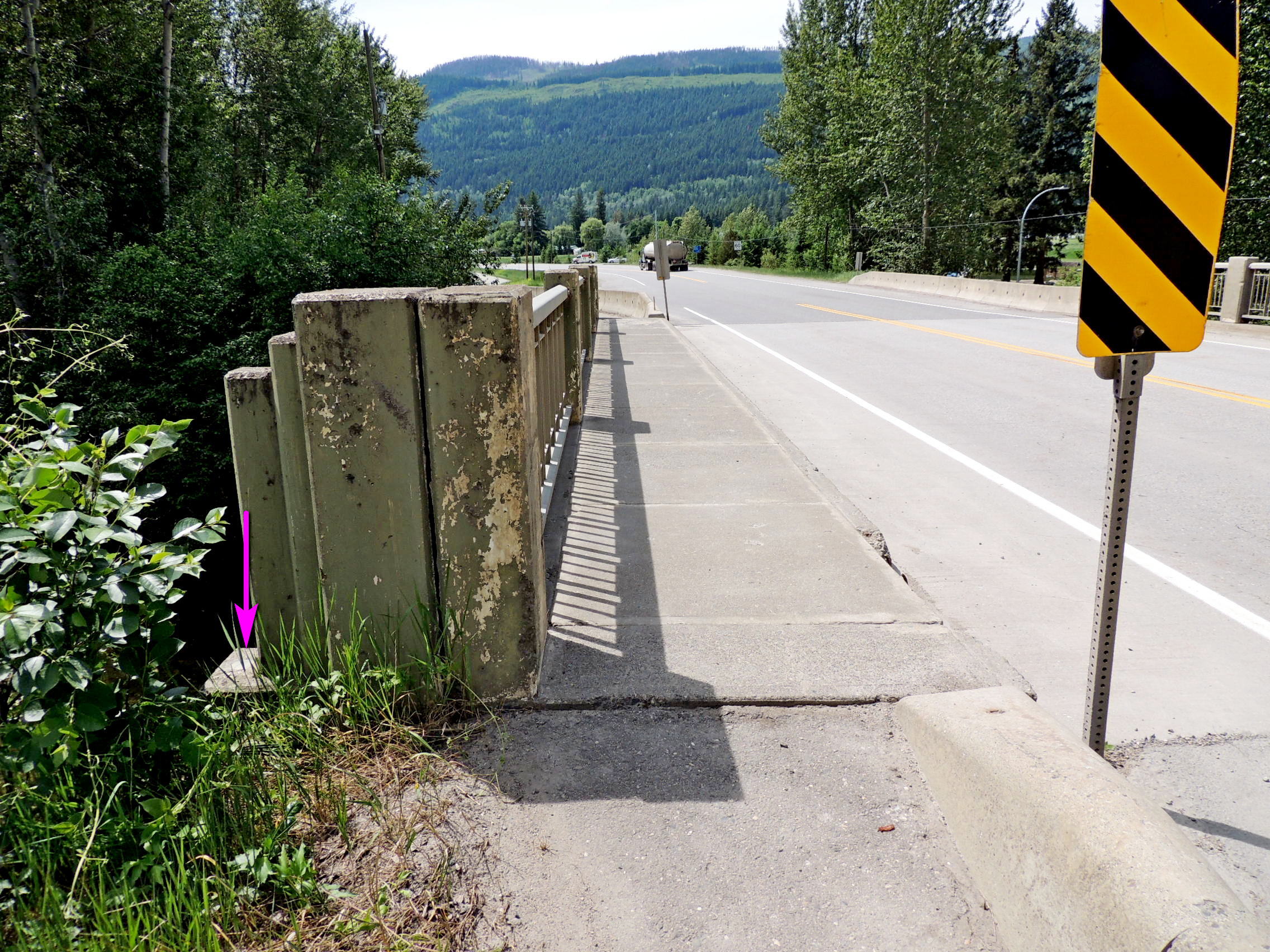
This bridge crosses Lemieux Creek, just north of a campground at the northern end of the little town of Little Fort. 79C727 is monumented in the top of the northeast abutment, immediately southeast of the easternmost concrete end post. It's at the same level as the sidewalk on the opposite side of the post.
Name	Province	  NTS map sheet	Unique Number
79C727	British Columbia  092P08	79C727
Little Fort
Highway no 5 bridge over lemieux creek, 0.5 km northeast of junction with highway no 24, 19.2 km southwesterly of most southern junction of the old north thompson highway and highway no 5, 28.4 km north of bridge over north thompson river, tablet in top of northeast abutment at most easterly corner of bridge, 7.6 m southeast of centre line of highway, 17 cm southwest of northeast face of abutment, 10 cm northwest of southeast end of abutment, at sidewalk level.
From NRCAN