Tenkiller Lake 8
Posted by: Groundspeak Premium Member stoneposse
N 35° 54.713 W 094° 55.929
15S E 325655 N 3975899
Located along the Illinois River.
Waymark Code: WMW55
Location: Oklahoma, United States
Date Posted: 10/22/2006
Published By:Groundspeak Regular Member Black Dog Trackers
Views: 24

New Page 1

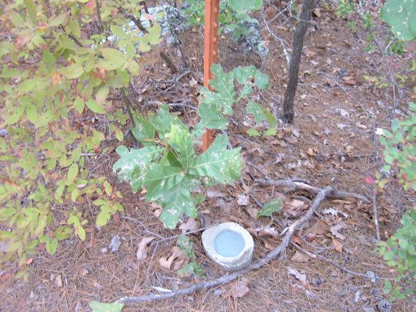
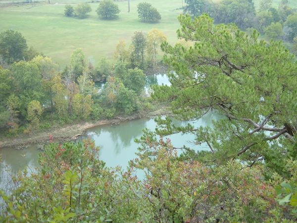
We found this disk while hiking along the Illinois River near Tahlequah, OK. It it located on the bluffs of the west bank of the river. Take Hwy. 51/62 East of Tahlequah, and turn south where Hwy. 10 North departs the highway and begins to parallel the river. You will drive through some old houses/mobile homes as you approach the river. Continue to drive under the old river bridge and on to the road's end; park here and hike the old road that leads past the pump station. I know there doesn't appear to be a path along the river but there is. Follow the path to a large ravine just passed the disk which is now located above you. You will have to climb up the cliff from the ravine which is very steep and dangerous. There is a path on the cliff that leads back up the hill to someone's house. You don't need to trespass. The disk is located part of the way up the cliff on the path. It is marked by an orange metal fence post. Enjoy the hike along this scenic area. 

Post a picture of yourself at Tenkiller Lake 8. Do not enter private property.


Condition: Mark found in good condition

Designation: Tenkiller Lake 8

Benchmark Agency: U.S. Army Corps of Engineers

Monumentation type: other (not any of the below)

USGS 7.5' Topographic Quadrangle Name (optional): Tahlequah, OK

Find type: Found by luck/skill/knowledge

Benchmark Agency (if other): Not listed

Monumentation type (if other): Not listed

County: Not listed

Special category (optional): Not listed

Special Category (if other): Not listed

Web address of this benchmark's datasheet (optional): Not listed

NGS PID: Not listed

Local database's URL (optional): Not listed

Visit Instructions:
  1. A closeup photo of the mark taken by you is required.
  2. A 'distant' photo including the mark in the view is highly recommended. Include the compass direction you faced when you took the picture.
Search for...
Geocaching.com Google Map
Google Maps
MapQuest
Bing Maps
Nearest Waymarks
Nearest U.S. Benchmarks
Nearest Geocaches
Create a scavenger hunt using this waymark as the center point
Recent Visits/Logs:
There are no logs for this waymark yet.