CPR Bridge - Grand Forks, BC
Posted by:  T0SHEA
N 49° 01.585 W 118° 26.913
11U E 394107 N 5431403
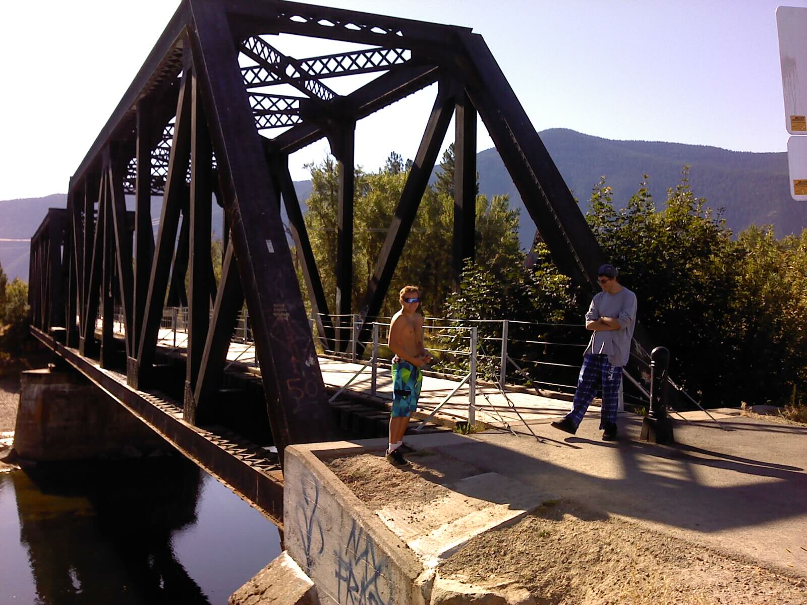
Within the town of Grand Forks, this bridge is now part of a walking trail. Tally=7
Waymark Code: WMQFB2
Location: British Columbia, Canada
Date Posted: 02/20/2016
Views: 2
Known locally as "The Black Bridge" and built around 1897-98, this bridge served the CPR for both freight and passenger service until the 1960s, when passenger service in the area was discontinued. By 1988 the CPR folded all of its operations in Grand Forks, leaving behind only the railway station and a few bridges in the area, this being one of them.
As do many towns these days, Grand Forks eventually saw its value as a landmark, and incorporated it into a system of walking/jogging/hiking trails within the city.
BTW, for the benchmark hunters, 439j is in the north end of this bridge's west concrete abutment.