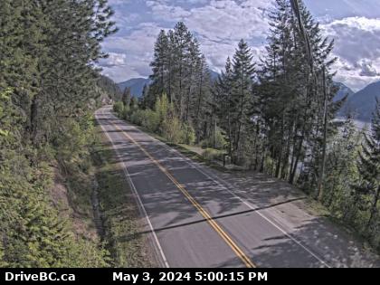
The camera stands atop a steel light standard style post on the east side of Highway 3A, about 1.6 kilometers south of Sanca Creek Bridge.
This is about 32 kilometers north of Creston on the east side of Kootenay Lake. Creston, other than Wynndel, is the nearest town of any size in the area. The little settlement of Boswell is about 11 kilometers north. The camera looks south down the highway toward Creston.
Creston is an interesting town in that it's about the only place in southern BC in which one may find Grain Elevators. Set on a large, flat delta, the area has produced grain and hay for many decades. The area also supports a fairly robust fruit and orchard industry, cherries being a
big crop here.
The photo below will update every 2 minutes, but only if you update the page manually. BC Highway webcams are owned and operated by the B.C. Ministry of Transportation and Infrastructure. They are accessible online at
DriveBC.