
Deep Well Irrigation
Posted by:  BruceS
N 40° 52.369 W 098° 00.196
14T E 583988 N 4525116
Historic marker in Streeter Park, Aurora, Nebraska
Waymark Code: WMNFZ
Location: Nebraska, United States
Date Posted: 08/26/2006
Views: 28
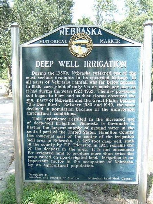
"During the 1930's, Nebraska suffered one of the most serious droughts in its
recorded history. In all parts of Nebraska rainfall was far below normal. In
1936, corn yielded only 1/10 as much per acre as it had during the years
1923-1932. The dry powdered soil began to blow, and as dust storms obscured the
sun, parts of Nebraska and the Great Plains became "the Dust Bowl." Between 1930
and 1940, the state declined in population because of the unfavorable
agricultural conditions.
This experience resulted in the increased use of deep-well irrigation.
Nebraska is fortunate in having the largest supply of groundwater in the central
part of the United States. Hamilton County lies somewhat east of the center of
the irrigation well area in Nebraska. A 225 foot deep well, sunk in the county
by F. E. Edgerton in 1931, remains one of the deepest in the area. It is not
uncommon for irrigated land to produce more than twice the crop raised on
non-irrigated land. Irrigation is an important factor in the occupation of
Nebraska by an agricultural population." ~ text of marker
Daughters of Founders and Patriots of America
Historical Land Mark Council
US 34, City Park, Aurora
Hamilton County
Marker 46