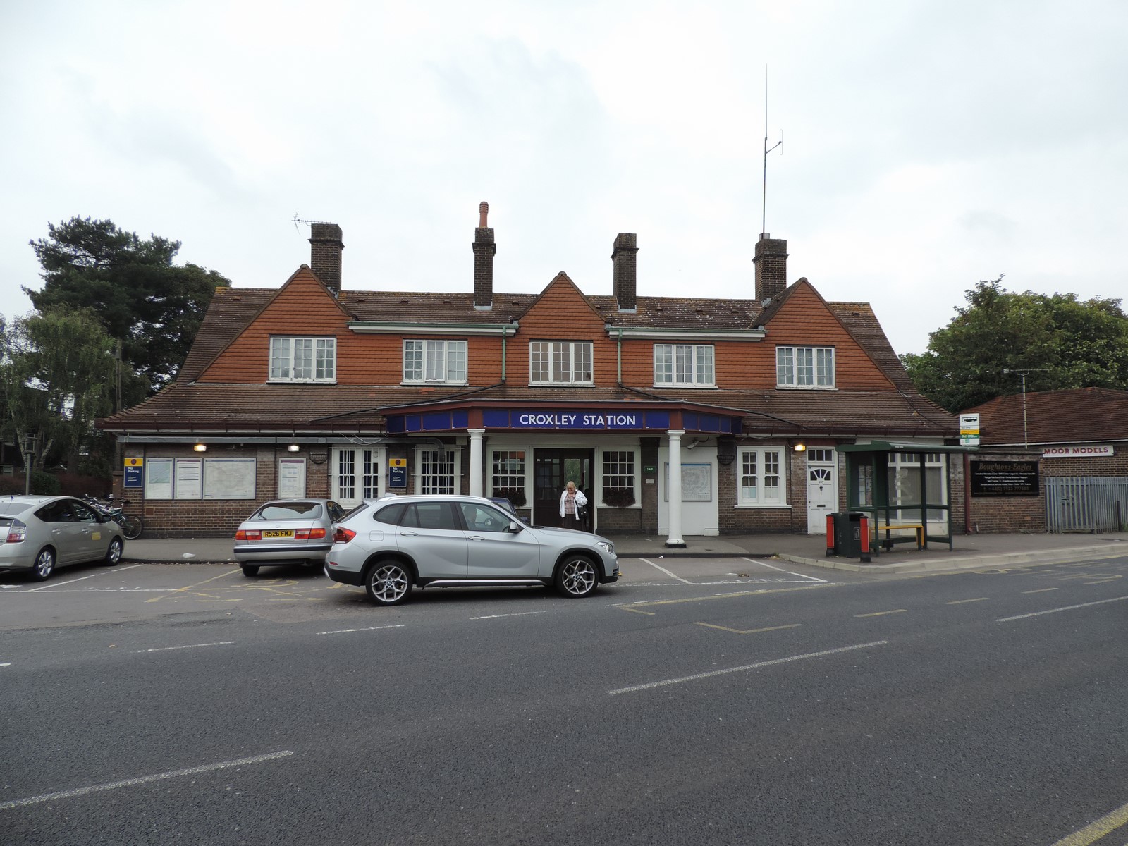
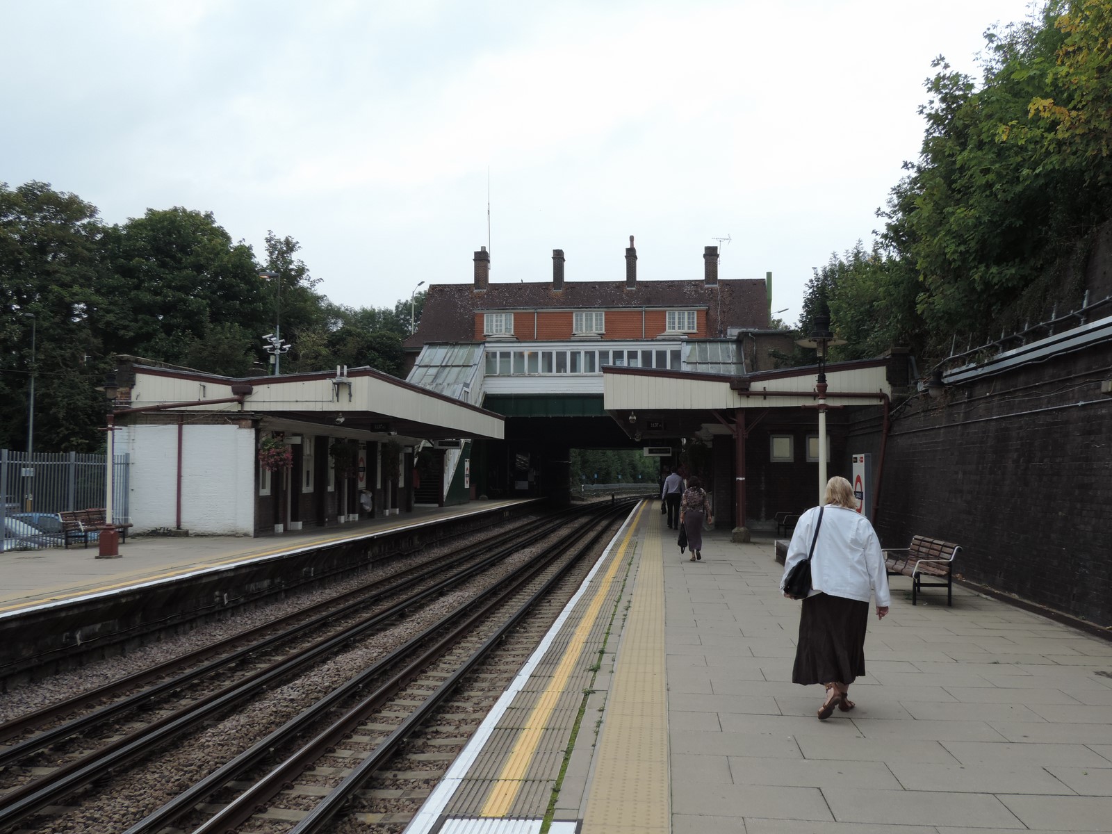
 Croxley, formerly Croxley Green is a station on the London Underground at Croxley Green in the Three Rivers district of Hertfordshire England. The station on the Watford branch of the Metropolitan line was renamed 'Croxley' in 1949 to differentiate it from the now closed Croxley Green. It is the only intermediate station on the branch between the terminus at Watford and Moor Park on the main line from Baker Street to Amersham. It is in Travelcard Zone 7.
The station is situated on the corner of Watford Road and Winton Drive in Croxley Green.
- 2 November 1925: station opened as "Croxley Green" on the Metropolitan Railway's extension to Watford opened from both Rickmansworth and Moor Park;
- 23 May 1949: station renamed "Croxley"
- 3 January 1960: line closed between Croxley and Rickmansworth
- 11 May 1987: early morning services from Rickmansworth reinstated
 The Croxley Rail Link is a plan to divert the Watford Branch east of Croxley involving the closure of the terminus station at Watford (known as Watford Met) and its replacement by two new stations on the reinstated Croxley Green branch alignment, at Cassiobridge (near Croxley Green) and Watford Vicarage Road. Trains would call at Watford High Street before terminating at Watford Junction.
The formal procedure to close Watford station, as described in Schedule 8 of the Railways Act 2005 which involves a hearing organised by London TravelWatch has commenced.