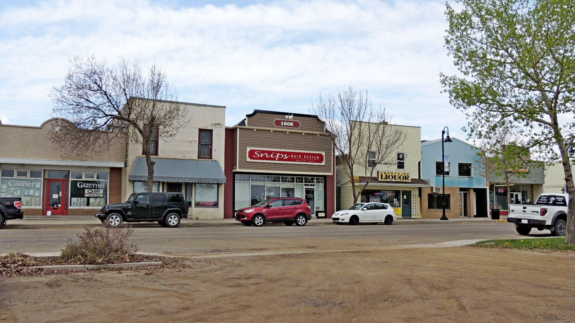
Carstairs, Alberta
Posted by:  T0SHEA
N 51° 34.036 W 114° 05.876
11U E 701124 N 5716901
Founded in 1903 and incorporated in 1966, Carstairs was originally a farming community and railway stop on the CPR main line between Calgary and Edmonton.
Waymark Code: WMMJ6R
Location: Alberta, Canada
Date Posted: 09/26/2014
Views: 1
The town still serves a large farming area, though today its main industry seems to be construction. Now with a population of over 3,000, its proximity to Calgary, 30 miles to the south, has made it a bedroom community of that city, which has a present population of over a million.
Carstairs is expected to grow exponentially in the next decade to a population of 13,000 or so. That's quite a growth spurt.
Located in central Alberta along Highway 2A and surrounded by oil and gas fields, much employment still originates in the oil patch. The town has the usual complement of services and facilities, with a fairly new arena complex, curling rink, a first class golf course and a second nine hole course, parks, trails, green spaces, campgrounds, ball diamonds and soccer fields and a school that keeps getting larger. The nearest hospital is 7 miles north, in Didsbury.
Coordinates given are at the town hall.