Stirling Grows - Stirling, AB
Posted by:  T0SHEA
N 49° 30.122 W 112° 31.029
12U E 390153 N 5484372
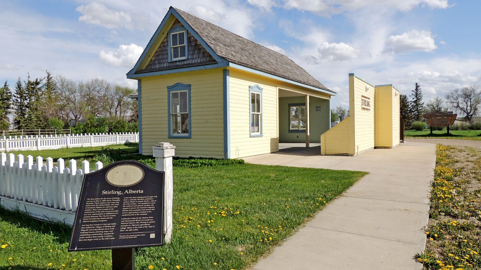
At the eastern edge of the village of Stirling there is a kiosk housing several plaques outlining the history of the settlement of the Stirling area. This one tells us of the growth of Stirling and water usage in the early years.
Waymark Code: WMKVEW
Location: Alberta, Canada
Date Posted: 05/31/2014
Views: 1
Stirling Grows
By 1901, 441 people lived in the village and area. Most were Mormon and came as families. There were 272 children in the 73 families and even the 18 single men were related to others in the village! In typical settlement communities the men arrived first, got established, then sent for their families or sweethearts to join them.
In Stirling, settlers' needs were quickly met.
By the end of 1899, the village had a church with regular Sunday meetings and Sunday School. The church building became the school and gathering place for sports, dances, plays and other social activities. Women organized a Relief Society to help those in need, a church choir formed and youth found the Young Men's and Young Women's Mutual Improvement Associations an important part of their lives.
The Water Turn
Well water was of poor quality so in 1905, villagers tapped into irrigation water. They built ditches along the roads to carry water to every property. Each landowner had a turn to draw water from the ditch. This water turn was controlled by the Village Secretary-Treasurer and was based on the amount of land owned.
The landowner, at his appointed time, blocked the ditch at the far end of his property with a sluice gate.
The water flowed through smaller ditches to irrigate gardens and pastures, and to fill water troughs and a cistern.
Once his time was up, the landowner removed the gate and allowed the water to flow to his neighbour's property.
IF ANYONE MISSED THEIR TURN, THEY WAITED TEN OR ELEVEN DAYS FOR THEIR NEXT TURN.
The settlers traded the irrigated gardens and tree-lined streets of Utah for the treeless plains of southern Alberta. They quickly planted trees around their properties for shelterbelts, flowering plants in front of their houses and fruit trees and bushes in their yards.
From the Plaque