
Fort Christanna
Posted by:  showbizkid
N 36° 50.308 W 077° 54.781
18S E 240232 N 4080914
Fort Christanna was an early 18th century outpost fort built as a trade center, a home for friendly Indian tribes and a place to educate and Christianize Indians. It was also built to protect occupants from unfriendly Indians in the region.
Waymark Code: WMKHN
Location: Virginia, United States
Date Posted: 08/09/2006
Views: 18
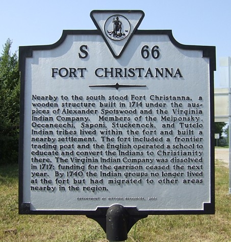
FORT CHRISTANNANearby to the south stood Fort Christanna, a
wooden structure built in 1714 under the
auspices of Alexander Spotswood and the Virginia
Indian Company. Members of the Meiponsky,
Occaneechi, Saponi, Stuckenock, abd Tutelo
Indian tribes lived within the fort and built a
nearby settlement. The fort included a frontier
trading post and the English operated a school to
educate and convert the Indians to Christianity
there. The Virginia Indian Company dissolved
in 1717; funding for the garrison ceased the next
year. By 1740, the Indian groups no longer lived
at the fort but had migrated to other areas
nearby in the region.
Fort Christanna, the first foothold of the white man in what is now Brunswick County, Virginia, was erected in 1714 during Alexander Spotswood's administration as Royal Governor. In August 1714, by authority of the General Assembly, Governor Spotswood established Fort Christanna on the rising ground above the banks of the south side of the Meherrin River. The fort was named in honor of Christ and Queen Anne, the English Queen.
The purpose for the establishment of Fort Christanna was education, religion, commerce and military. Governor Spotswood appointed the Reverend Charles Griffin as schoolmaster to educate and Christianize the Indian children in the first Christian Indian School in Virginia.
On November 16, 1714, at the request of Governor Spotswood, the General Assembly passed an "Act for the better regulation of the Indian trade."
In March 1715, Governor Spotswood traveled to the location of the fort. On this trip, he completed the building of the fort itself. Now the frontier was protected from unfriendly Indians.
The fort proved to be short-lived. By 1718, colonial funding for troops stationed there was discontinued and by 1740, the local Indians who had lived at the fort had migrated to other nearby locations.
Excavation work was done on the fort's remains from 1979 to 1981 and artifacts from the dig are on display at the Brunswick County Museum in Lawrenceville.
The site of the fort is about two miles south of Lawrenceville, off of Route 46/Christanna Highway on Fort Hill Road.