
Greenwood, British Columbia
Posted by:  T0SHEA
N 49° 05.213 W 118° 40.643
11U E 377527 N 5438469
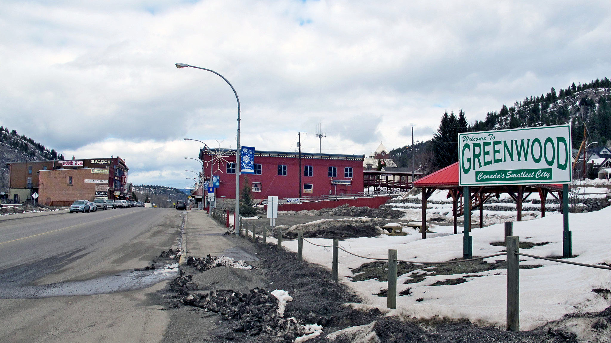
The itty-bitty city of Greenwood straddles The Crowsnest Highway about 37 km. west of Grand Forks or about 32 km. east of Rock Creek, at the junction of the Crowsnest with Highway 33.
Waymark Code: WMHZAX
Location: British Columbia, Canada
Date Posted: 08/31/2013
Views: 1
Located along Highway #3 between Midway and Grand Forks, Greenwood is the smallest city in Canada with a mere population of 676 residents.
It was incorporated in 1897 and was one of the mining boom towns in the area. However, after World War One, the mining boom collapsed and Greenwood was all but deserted.
It was revived in 1942 when about 1200 Japanese Canadians were interned there. Some of them remained after the camp was closed in 1946.
Not only is Greenwood, Canada’s smallest city, it was officially named the municipality having the best tasting water in the world by the Berkeley Springs International Water Tasting in West Virginia in 2012.
Visit Instructions:
To post a visit log to this waymark you need to visit and write about the actual physical location. Any pictures you take at the location would be great, as well.
Recent Visits/Logs:
| There are no logs for this waymark yet. |
|
|
|