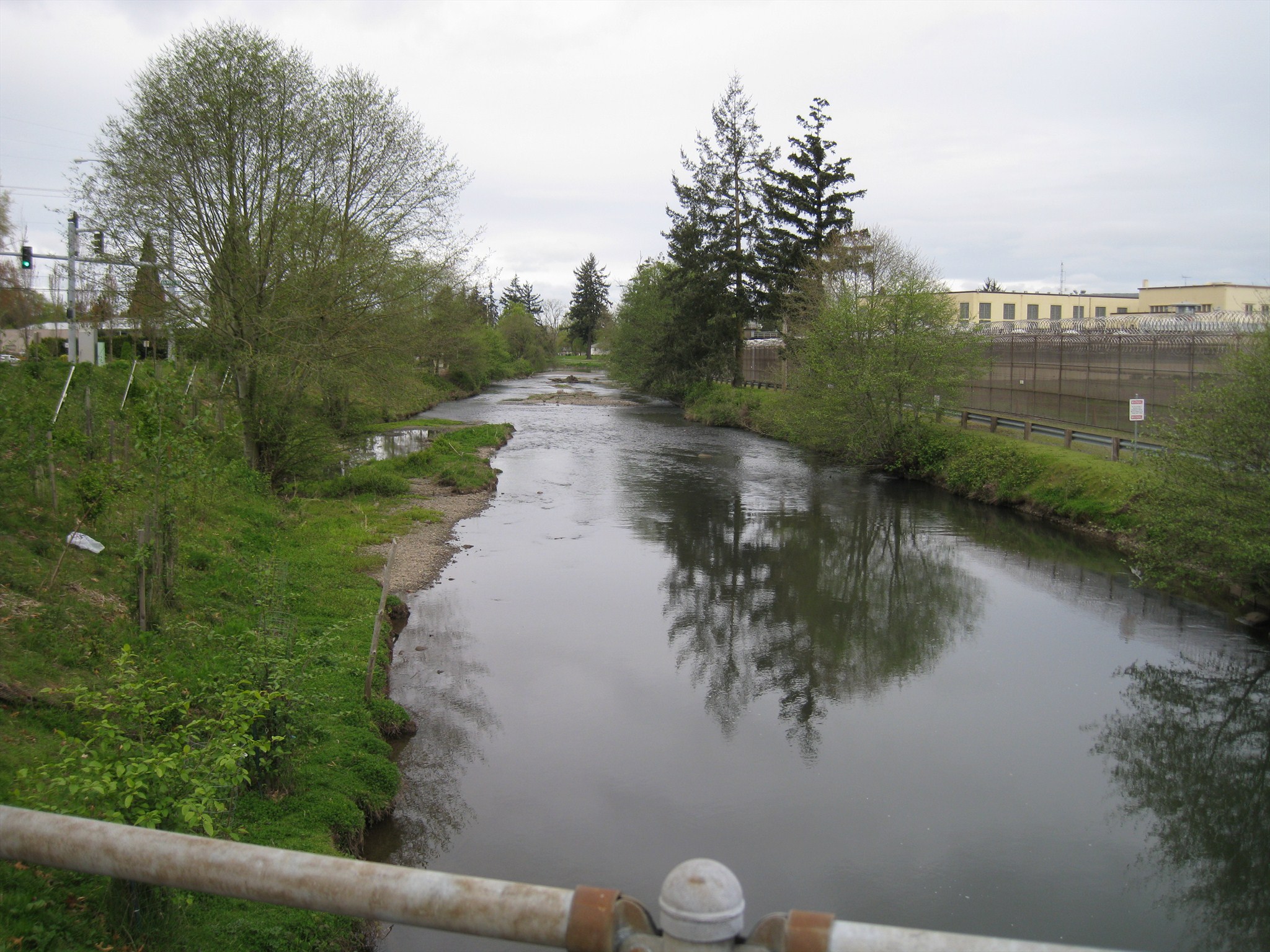
Mill Creek is a tributary of the Willamette river in Marion County, Oregon. It originates south of Silver Falls and flows a distance of 26 miles, passing through the cities of Sublimity, Stayton, Aumsville and Turner before emptying into the Willamette River in Salem, Oregon.
Approximately the last seven miles of the creek flow through the City of Salem. The city's public works department manages efforts to improve the creek's water quality by addressing environmental concerns, such as erosion. This site falls within the Mill Creek Watershed - the waterway is regulated by the City of Salem.
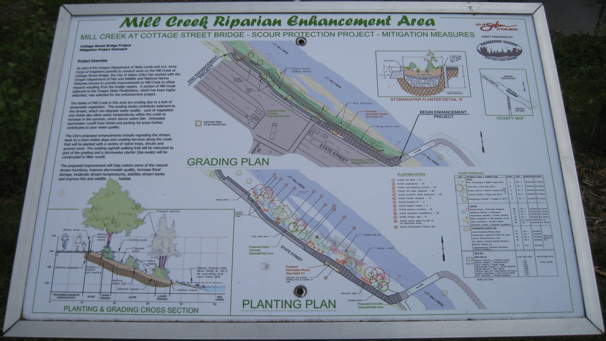
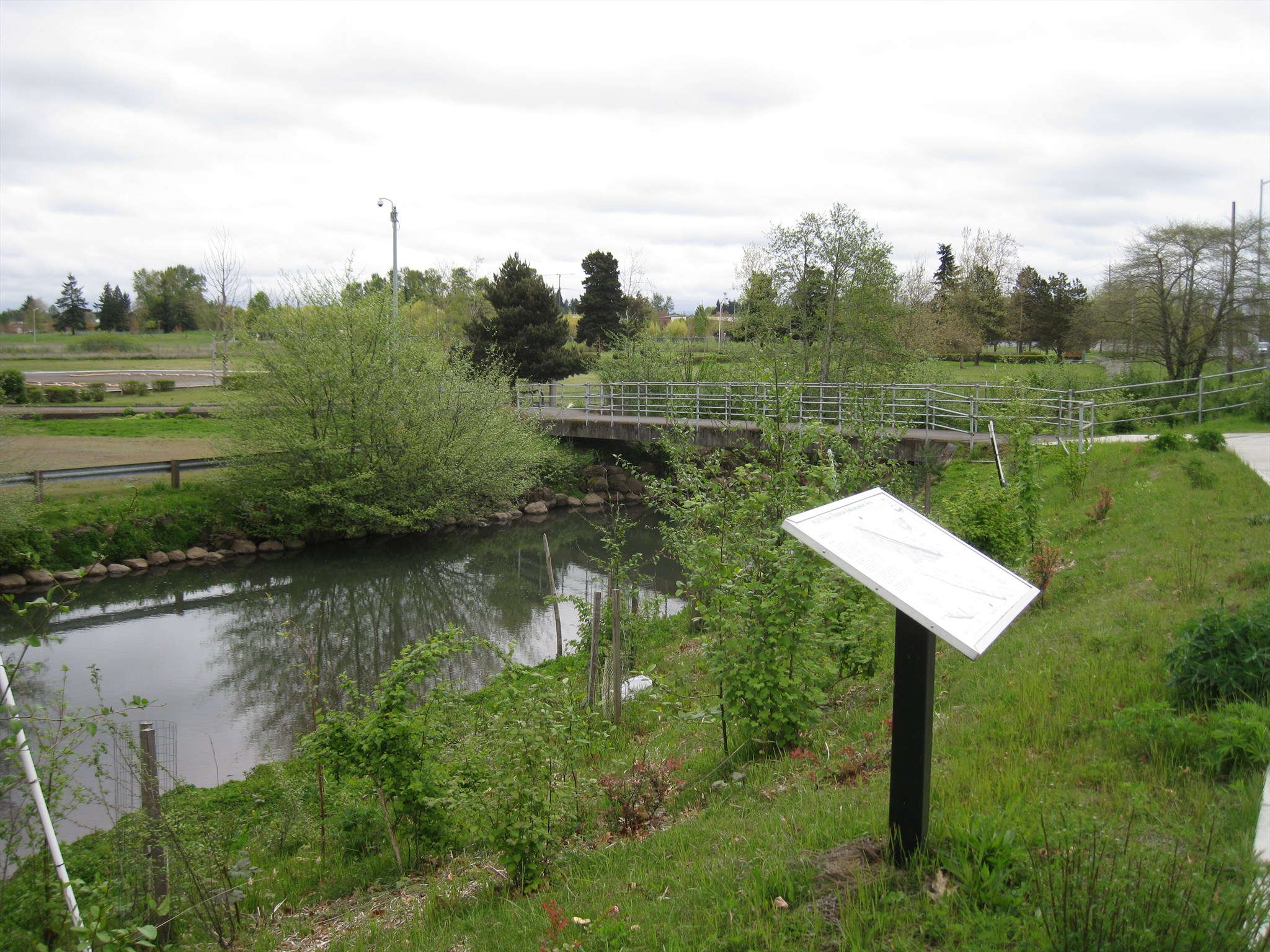
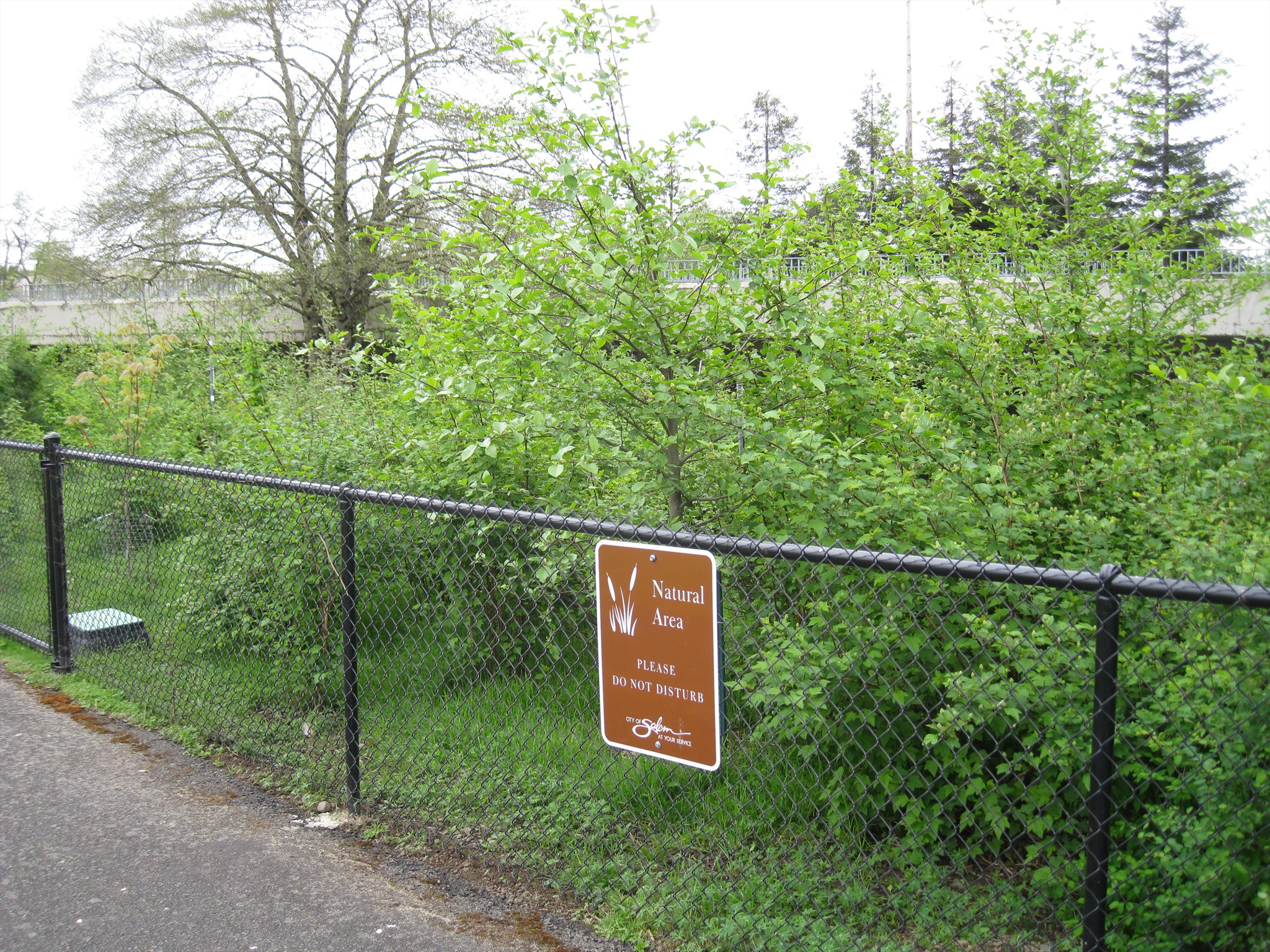
According to a marker on site, the greenspace at this location is known as the Mill Creek Riparian Enhancement Area, a roughly 8,000 square foot strip of land along the banks of Mill Creek near the intersection of State Street and Airport Road, across from the Oregon State Penitentiary. This land is owned and managed by the City of Salem. The waymark coordinates are for a marker which describes the environmental situation and mitigation efforts. A high degree of erosion due to a lack of vegetation resulted in a plan to improve the situation here in order to improve water quality in Mill Creek as a means of offsetting the impacts resulting from downstream bridge repairs.
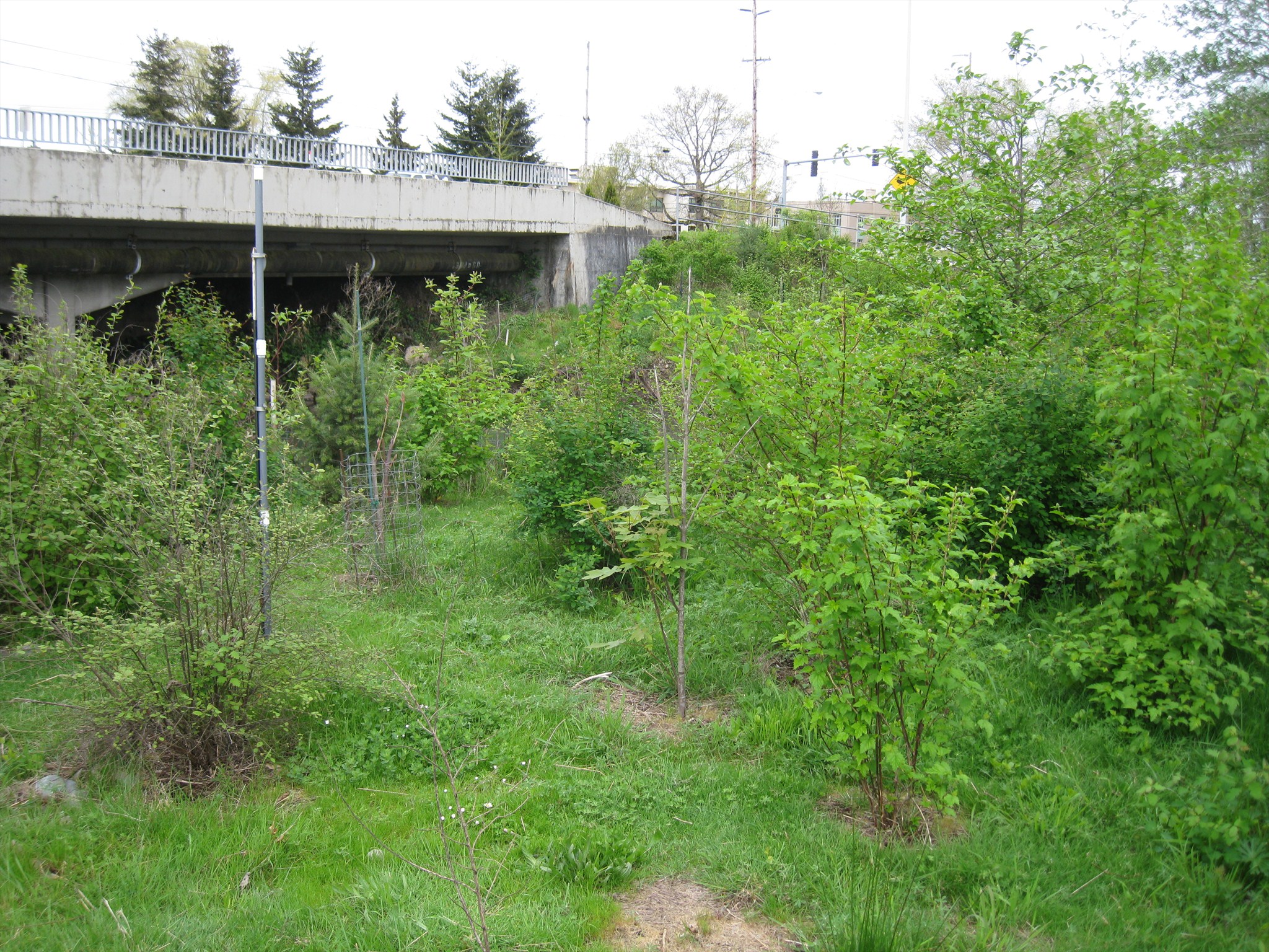
A significant part of the effort involves reintroducing native vegetation in order to stabilize the creek bank and improve fish and wildlife habitat. According to the sign, among the native plants that are currently being installed here are: red alder, oceanspray, red flowering current, red-osier dogwood, scouler's willow livestakes, Pacific ninebark, Douglas fir, bigleaf maple, western hazelnut, evergreen huckleberry, Oregon ash, native seed mix #1, Stormwater Planter Mix.
The gallery photos show some of the native plants that were replanted. During my Waymarking efforts I noticed a commotion up above on the bridge as cars came to halt, honking horns. One of the gallery photos shows the reason - a pair of Canadian Geese crossing the street - a common sight this time of year. After reaching the north side of the street they could have found shelter among the new plantings in the riparian area.
While not a traditional "park," this greenspace does offer a number of recreational activities. The educational marker provide opportunities to examine the planting map and then view the actual plants (from the safety of the sidewalk). There is a footbridge here that provides an opportunity to look up and down Mill Creek from the center of the bridge. Fencing and signs denote areas that pedestrians need to avoid in order to not damage the new plants and erosion control measures.
Click a photo to enlarge