|
 Seaside Posted by:  LJParr LJParr
N 32° 49.270 W 079° 49.041
17S E 610703 N 3632081
Historical marker erected in 2009 by the Town of Mount Pleasant.
Waymark Code: WMENKX
Location: South Carolina, United States
Date Posted: 06/19/2012
Views: 13
Marker Text:
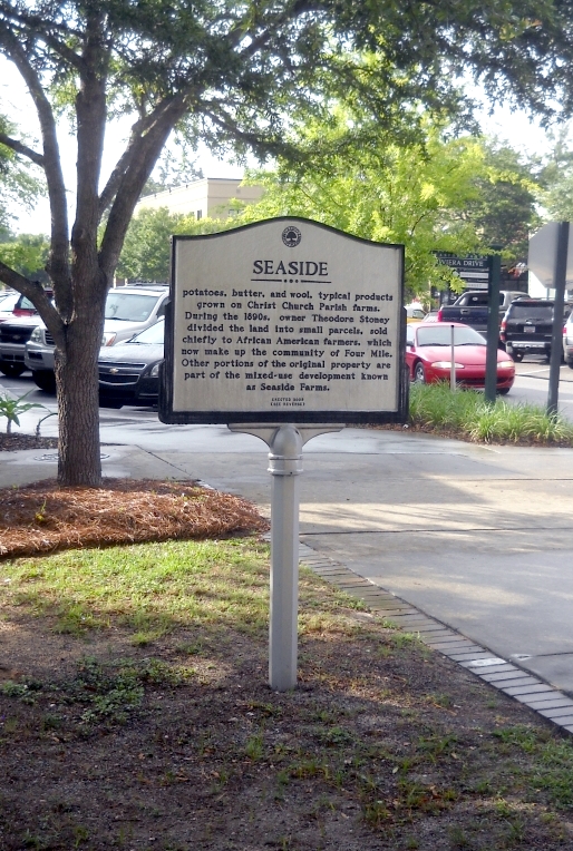
The earliest documented owner of the property known as Seaside was Thomas Whitesides. A plat shows the property included a main house, a barn, other outbuildings, and a row of four slave cabins. The land was divided among his five sons in the 1790s. There was a succession of owners throughout the nineteenth century. By 1859, Peter P. Bonneau owned the property and produced cotton, corn, sweet potatoes, butter, and wool, typical products grown on Christ Church Parish farms. During the 1890s, owner Theodore Stoney divided the land into small parcels, sold chiefly to African American farmers, which now make up the community of Four Mile. Other portions of the original property are part of the mixed-use development known as Seaside Farms.
Marker Name: Seaside

Marker Location: City
Type of Marker: Historic Site
Marker number: None
County: Charleston County, SC
|
Visit Instructions:
A picture of the marker taken by you or specific details of the site.
|