Carolina Sandhills National Wildlife Refuge - South Carolina
Posted by:  Mvillian
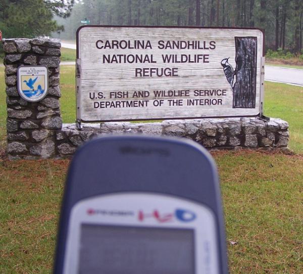
N 34° 30.327 W 080° 13.070
17S E 571801 N 3818479
This is the Carolina Sandhills National Wildlife Refuge located on U.S. Hwy 1 near McBee S.C.
Waymark Code: WMC53
Location: South Carolina, United States
Date Posted: 05/07/2006
Views: 85
Refuge Facts
¦ Established: 1939.
¦ Acres: 45,348.
¦ Located in Chesterfield County, SC.
¦ Other management: conservation
easements—nine in five counties
totaling 871 acres; fee title tracts
—1 totaling 210 acres in
Marlboro County.
¦ Location: the refuge is located 4
miles north of McBee, SC on U.S.
Highway 1.
Natural History
¦ The refuge lies along the fall line
which separates the Piedmont
Plateau from the Atlantic Coastal
Plain. Rolling beds of deep sandy
soils are host to an extensive
longleaf pine forest. This refuge
is a premier showcase area for
progressive longleaf pine/
wiregrass management and
restoration efforts.
¦ The largest population of
endangered red-cockaded
woodpeckers within the refuge
system are found here (more
than 130 family groups); rare
plants including several
carnivorous plants are found on
the refuge along with the unusual
pine barrens treefrog.
¦ Thirty ponds and lakes along with
1,400 acres of fields and forest
openings add diversity to the
more than 42,000 acres of forested
woodlands found on the refuge.
Financial Impact of Refuge
¦ 11-person staff.
¦ 50,000-60,000 visitors annually.
¦ Current budget (FY 05) $623,000.
¦ Revenue sharing payments to
Chesterfield County average
$200,000 annually; timber sales
and other receipts average
$200,000 - $250,000 annually.
Scott Lanier, Refuge Manager
Carolina Sandhills NWR
23734 Highway 1
McBee, SC 29101
Phone: 843/335 8401
Fax: 843/335 8406
E-mail:
FW4RWCarolinaSandhills@fws.gov
Refuge Objectives
¦ Restore, maintain and enhance
longleaf pine habitat and
associated plant and animal
species.
¦ To preserve, restore and enhance
endangered or threatened
species with special emphasis on
the red-cockaded woodpecker.
¦ To provide habitat for migratory
birds.
¦ To provide opportunities for
environmental education,
interpretation and wildlifeoriented
recreation.
¦ To demonstrate sound land
management practices that
enhance natural resource
conservation.
Management Tools
¦ Prescribed burning of 12,000 to
15,000 acres annually.
¦ Selective timber harvesting to
improve diversity and meet
habitat requirements of the redcockaded
woodpecker.
¦ Cooperative farming.
¦ Water management for waterfowl.
¦ Population management for deer,
turkey and small game (managed
hunting).
¦ Fisheries management.
¦ Partnerships.
¦ Outreach/interpretation/
education.
¦ Law enforcement.
Public Use Opportunities
¦ Nine mile paved auto tour route.
¦ Two designated hiking trails (one
and three miles).
¦ Numerous wildlife observation
sites.
¦ Fishing ponds.
U.S. Fish & Wildlife service
Sign near headquarters
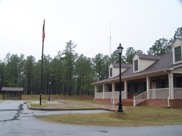
Headquarters and info
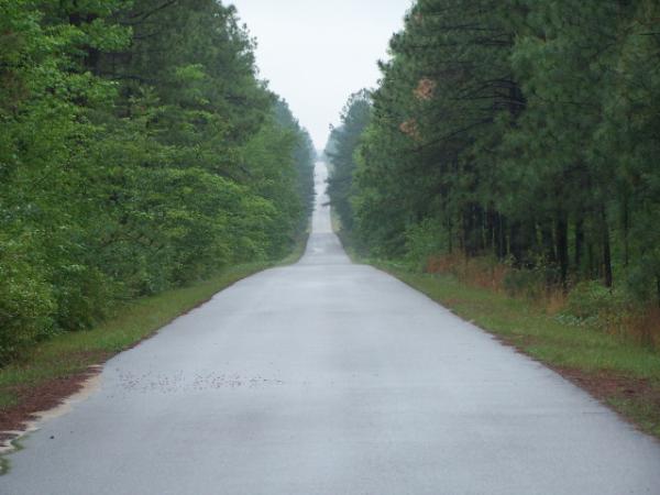
Wildlife Drive
Lake Bee
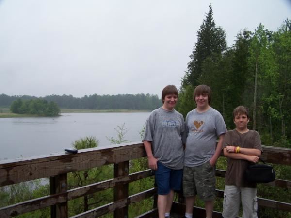
my sons at the Martins Lake observation tower