
Banning Bridge - Fayette County, PA
N 40° 07.321 W 079° 44.782
17T E 606820 N 4442053
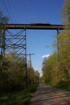
The Banning Bridge is a railroad trestle currently owned by the Wheeling & Lake Erie Railway spanning the Youghiogheny River since it's construction in 1930 by the American Bridge Company.
Waymark Code: WMC3K
Location: Pennsylvania, United States
Date Posted: 05/07/2006
Views: 67
This trestle built in 1930 spans the Youghiogheny at about 1/2 of a mile long and over 150 feet tall. This bridge has light rail traffic due to the lack of use of the line.
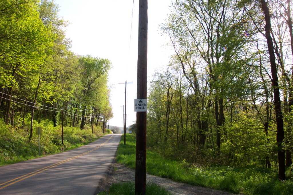
When you get to the coordinates there is a pull-off near a sign that looks like this:
From the coordinates given, at a north heading this will be your view of the trestle:
Litte information is given about the consturction of the railroad or this bridge, if you find anything feel free to post it on here!