Salinas Pueblo Missions National Monument
Once, thriving American Indian trade communities of Tiwa and Tompiro speaking Puebloans inhabited this remote area of central New Mexico. Early in the 17th-century Spanish Franciscans visited the area and found it ripe for their missionary efforts. However by 1677 the entire Salinas District, was depopulated of both Indian and Spaniard alike.
* Quoted from the National Park Website.
The Mountainair headquarters can be reached by taking I-25 south from Albuquerque to Belen, then NM 47 diagonally to US 60, then east 21 miles to Mountainair. To travel the historic highway route from the north, take I-40 east from Albuquerque to NM 337, drive south 54 miles to Mountainair. Information on the Quarai, Abó, and Gran Quivira ruins, as well as the surrounding area, are provided by National Park Service rangers at all three ruins and park headquarters.
Daily-summer hours (Memorial Day - Labor Day): 9:00 a.m. - 6:00 p.m. Winter hours (rest of the year): 9:00 a.m. - 5:00 p.m.
Visiting Salinas Pueblo Missions National Monument is free. Entrance fees are not charged.
There are three locations within the park. They are:
Abó Ruins - N34 27.017 W106 22.474
(505) 847-2400
Ruins are 9 miles west on US 60 and one-half mile north on NM 513.
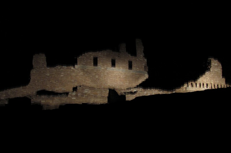
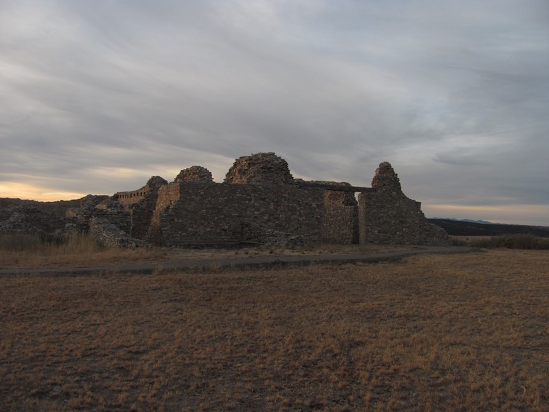
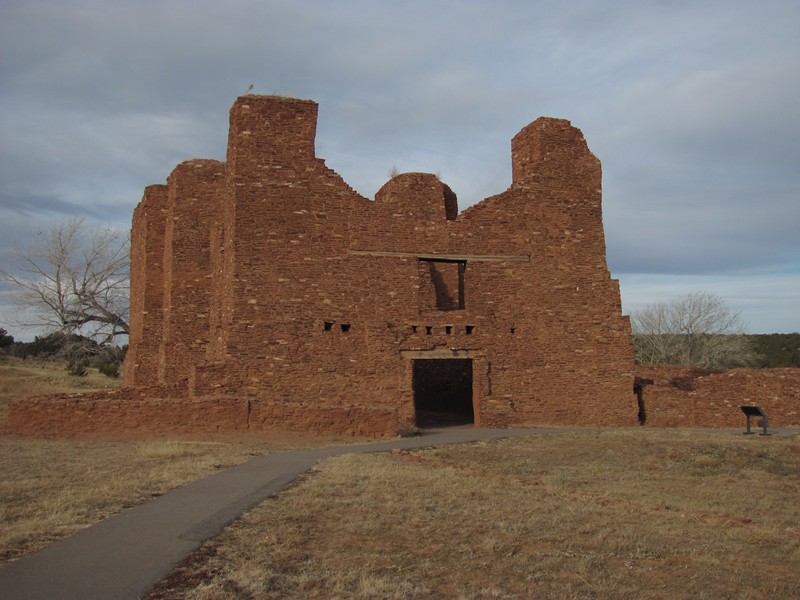
Located adjacent to the major east-west trade route through Abó Pass, the Tompiro Pueblo of Abó (ca. 1300s - 1670s) was one of the Southwest's largest Pueblo Indian house complexes are dominated by the unique buttressed walls, 40 feet high, of the Spanish Franciscan mission church of San Gregorio de Abó, built around 1630.
(Quoated from a state historical marker near site)
Gran Quivira Ruins - 34 15.813 W106 06.126
(505) 847-2770
Ruins are 26 miles south on NM 55.
The Tompiro Indian "Pueblo de las Humanas" (ca. 1300-1670's) had 1,500 to 2,000 inhabitants and was a trading center with Plains Indians. The village evolved for centuries on the fringe of the Mongollon and Anasazi cultures. There are two large Spanish Franciscan missions churches, San Isidro built in 1629, and San Buenaventura constructed in 1659.
(Quoated from a state historical marker near site)
Quarai Ruins - N34 35.713 W106 17.848
(505) 847-2290
Ruins are 8 miles north on NM 55 and 1 mile west.
On the edge of the Plains stands the abandoned Tiwa Pueblo Indian village of Quarai (ca. 1200-1670s), the southernmost of the Tiwa villages, located along the eastern flanks of the Manzano Mountains. The Spanish Franciscan mission church of La Purisima Concepcion (1630) is the most complete remaining example of the larger Salinas churches.
(Quoated from a state historical marker near site)