
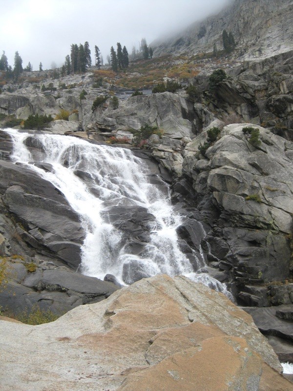
Tokopah Falls - Sequoia National Park, CA
N 36° 36.684 W 118° 41.675
11S E 348452 N 4053101
The Tokopah Falls is located at the end of the 1.7 mile Tokopah Valley Trail, which begins at the Lodgepole Campground in Sequoia National Park, CA.
Waymark Code: WM7GQB
Location: California, United States
Date Posted: 10/24/2009
Views: 10
Tokopah Falls
Tokopah Falls is 1200' (365.8 meters) high. It is most impressive in early summer.
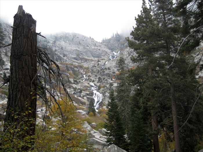
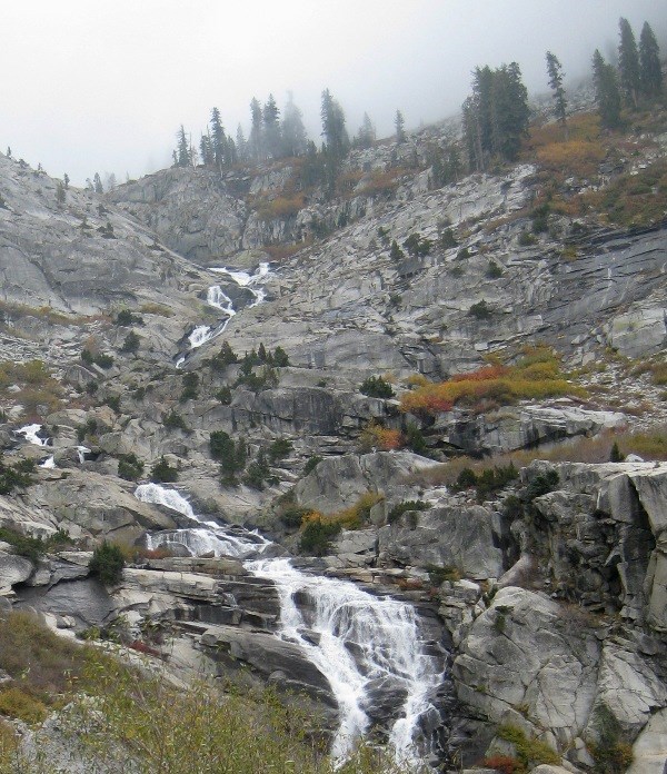
The trail to Tokopah Falls starts just beyond the Marble Fork Bridge in Lodgepole Campground. It is an easy 1.7 mile (one way) walk along the Marble Fork of the Kaweah River to the impressive granite cliffs and waterfall of Tokopah Canyon.
Reference: Sequoia National Park Signs & Materials