
Sugarloaf Mountain
Posted by:  Team Laxson
N 40° 01.614 W 105° 25.128
13T E 464265 N 4430826
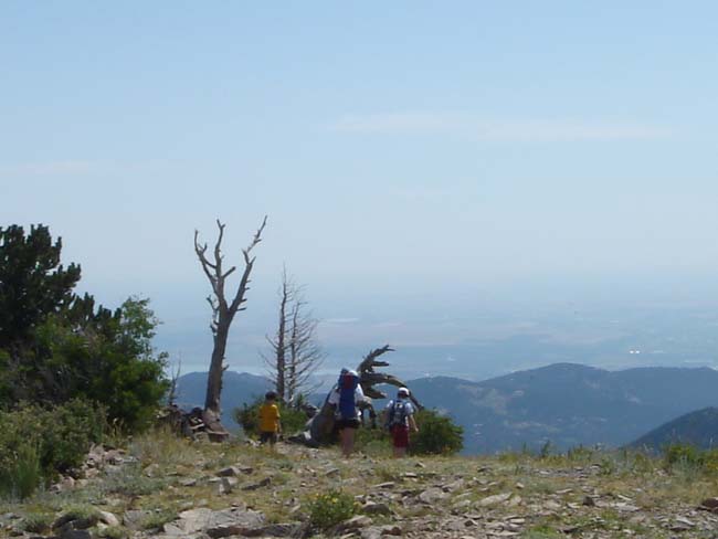
A short hike up to the top of Sugarloaf Mountain (8,912 feet), with spectacular views of the Indian Peaks Wilderness, Rocky Mountain National Park, James Peak Wilderness Area, and the plains.
Waymark Code: WM48XF
Location: Colorado, United States
Date Posted: 07/23/2008
Views: 30
A short hike up to the top of Sugarloaf Mountain (8,912 feet), with spectacular views of the Indian Peaks Wilderness, Rocky Mountain National Park, James Peak Wilderness Area, and the plains.
 TO THE TRAILHEAD:
 Sugarloaf Mountain is 10 miles west of Boulder. Take Colo. 119 (Boulder Canyon). One mile past the tunnel, turn right on Sugarloaf Road. At 4.8 miles, turn right on Sugarloaf Mountain Road. Trailhead is one mile up. There is ample parking available.
Altitude in Feet: 8912

|
Visit Instructions:
To post a visit log for waymarks in this category, you must have personally visited the waymark location. When logging your visit, please provide a note describing your visit experience, along with any additional information about the waymark or the surrounding area that you think others may find interesting.
We especially encourage you to include any pictures that you took during your visit to the waymark.