
San Andreas Fault - California
N 36° 50.745 W 121° 32.116
10S E 630593 N 4078762
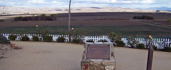
California's longest Fault Zone, named after Saint Andrew.
Waymark Code: WM2R57
Location: California, United States
Date Posted: 12/11/2007
Views: 205
The
San Andreas Fault is a geological fault that runs through California.
 |
San Andreas is an anglicisation of the Spanish name San Andrés, which, in English language is Saint Andrew, the Apostle, and the younger brother of Saint Peter. The San Andreas Fault, however, is not named after Saint Andrew, but after a small lake which lies in a linear valley formed by the fault just south of San Francisco, the Laguna de San Andreas. The lake, of course is named after Saint Andrew.
|
The fault was first identified in Northern California by UC Berkeley geology professor Andrew Lawson in 1895. Following the 1906 San Francisco Earthquake, Lawson also discovered that the San Andreas Fault stretched well southward into Southern California. With 800 miles length, it is the longest fault zone in California.
The Spanish padres who established California's 21 Missions between 1683 and 1834 had no idea of the fault zone; for them it was a convenient, mostly flat ditch that made traveling easy. So, the Camino Real, connecting the missions, used the fault line for long stretches with the rather ironic result that many of the California missions were established directly on the fault zone which eventually lead to the frightening fact that California's biggest cities are all lined up along that major earthqauake area where the North American Plate rubs with the Pacific Plate.
For as long as the earth doesn't shake, the Mission in San Juan Bautista is one of the best places to see the fault.