
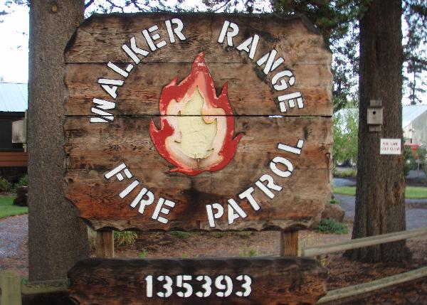
Walker Range Fire Patrol
Posted by:  silverquill
N 43° 27.064 W 121° 42.237
10T E 604863 N 4811722
WRPA was formed in 1927 by a consortium of forest landowners to provide fire protection for their ownerships. In 1928 WRPA began contracting with the State of Oregon for protection on all State, County and private lands within their district.
Waymark Code: WM2GPZ
Location: Oregon, United States
Date Posted: 10/31/2007
Views: 27
WRPA was formed in 1927 by a consortium of forest landowners to provide fire protection for their ownerships. In 1928 WRPA began contracting with the State of Oregon for protection on all State, County and private lands within their district boundaries of northern Klamath and Lake Counties.
The WRPA district encompasses approximately 700,000 acres. There are three un-incorporated towns and 35 residential communities within the district boundaries. All of these communities are located in the Wildland Urban Interface (WUI) and are surrounded by public or private industrial forestland. WRPA works cooperatively with 7 rural protections districts, three National Forests, two BLM Districts, two Oregon Department of Forestry districts, three Interagency Wildland Fire Dispatch Centers and three 9-1-1 Communication Centers.
WRPA employs 5 permanent and 30 seasonal wildland fire professionals. WRPA relies on an array of equipment to serve the protection needs of the district, including 6 engines, 2 water tenders and 1 bulldozer. A typical deployment for daily patrols would include 3 engines and 7 firefighters. Patrol duties include regulatory signing, public education and law enforcement.